What is recorded here
Located in the SW corner of a roughly rectangular turf cutting, on a flat plateau of heather and sedge-covered blanket bog bordered at NE–E by the Crowagh River valley. A roughly circular area (diam. c. 5.5-6m) can be distinguished by a slightly denser, higher growth of heather. Exposed on its perimeter at SE–SW is a shallow arc of low close-set stones, possibly the remnants of a stone bank or wall. The stone bank/wall (Wth 0.4-0.7m) appears to be only two stones wide, and barely protrudes above the bog surface. Individual stones can be glimpsed or felt by probing beneath the heather elsewhere around the perimeter of the heather cropmark. The visible remains suggest that a circular stone structure, possibly a hut site, is concealed beneath the heather.
Compiled by: Jane O'Shaughnessy
Date of upload: 2 July 2014
The monument record does not grant public access. Check the route and ask the landowner before entering private land.
- What survives
- Recorded monument
Places near here
 ÌndicatedFairy fort / earthen ringfort · 1.5 mi
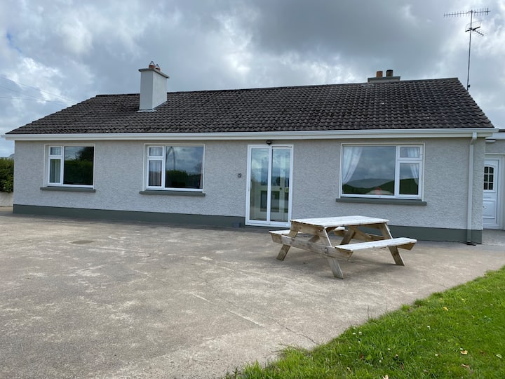 Habitation site in BuncroweyHabitation site · 1.7 mi
 Camphill Househouse · 3.0 mi
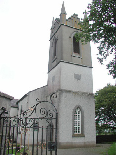 Saint Mary's Church (Kilmacshalgan)church/chapel · 3.0 mi
 Site of Dunneill CastleCastle, unclassified · 3.1 mi
 White RockNamed rock · 3.3 mi
 Ballynahowna CastleCastle, tower house · 3.7 mi
 Eamonn's TopMountain / peak · 3.8 mi
 Sruffaungarve TopMountain / peak · 3.9 mi
 DonaghHeadland · 4.4 mi
 Jim Smith MemorialMemorial · 6.6 mi
 Wild Atlantic Way: Easky PierVisitor information · 6.8 mi