
What is recorded here
Castle, Crossdrum Lower has vanished entirely. What remains is a broad grass platform indistinguishable from the natural ridge, hiding the rectangular chamber and enclosed yard mapped in 1836. Patrick Plunkett, Lord Dunsany, owned three hundred acres there in 1640, yet no survey recorded his castle. The earth has swallowed the walls, the yard and every human claim laid upon that ridge.
A castle at Crossdrum in Killeagh parish is not recorded in the Civil Survey (1654-6) or on the Down Survey (1655-8) maps, although 300 acres there were owned in 1640 by Patrick Plunkett, Lord Dunsany (Simington 1940, 273). It is depicted as a rectangular structure (dims c. 10m NE-SW; c. 5m NW-SE) with a projection at the E end of the NW side on the 1836 OS 6-inch map. It is also depicted with a rectangular enclosure (dims c. 25m NW-SE; c. 20m NE-SW) attached to its NW side on this map.
The castle is located on a low N-S ridge and was described in 1970 as a raised oval and grass-covered enclosure (dims of top 41m N-S; 23m E-W) defined by low banks on natural scarps (H 2.3m at N to 3.8m at W) on all sides except the S where the castle itself was visible at the SE angle. This was a small rectangular structure (int. dims 2m N-S; 4.2m E-W) defined by grass-covered banks (Wth of base 3-5m; int. H 0.4-0.6m; ext. H 0.8m at W to 3m at E) with traces of stone facing. The castle had a small rectangular enclosure (dims 8m E-W; c. 6m N-S) attached to the W that rose slightly over the N enclosure. By 1984 only a broad grass-covered platform (dims 55m N-S; 32m E-W; max. H 2.5m) which appears to be natural was visible.
The above description is derived from the published 'Archaeological Inventory of County Meath' (Dublin: Stationery Office, 1987). In certain instances the entries have been revised and updated in the light of recent research.
Compiled by: Michael Moore
Date of revision: 31 October 2018
Built or held by Patrick Plunkett, Lord Dunsany, in the mid-17th century; its absence from major 17th-century surveys suggests it may have been a lesser-known or short-lived structure, offering insight into local landholding patterns in Killeagh parish.
The monument record does not grant public access. Check the route and ask the landowner before entering private land.
- What survives
- Recorded monument
Places near here
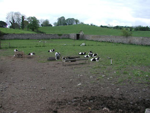 Crossdrum Housewalled garden · 975 yd
 Enclosure in Crossdrum UpperEnclosure · 1458 yd
 Mount FortuneMountain / peak · 1640 yd
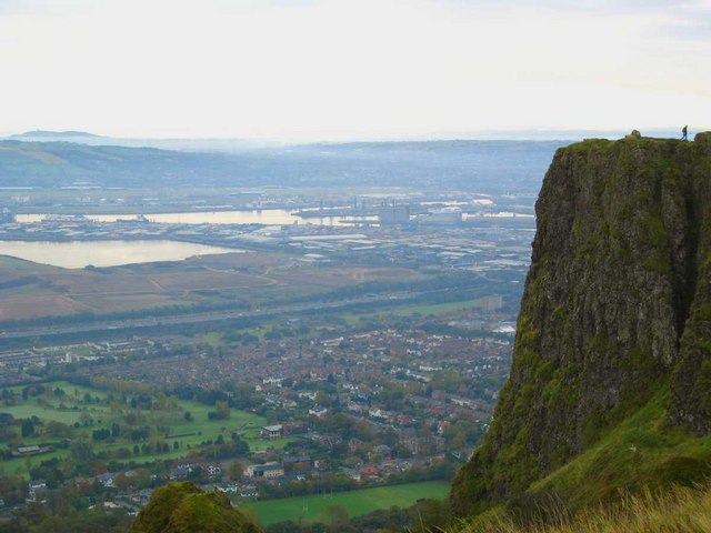 Cave FortFairy fort / earthen ringfort · 1700 yd
 Church (in Ruins)Church · 1.0 mi
 Memorial CrossMemorial · 1.1 mi
 European BeechEuropean Beech · 1.1 mi
 The MoatCastle, motte and bailey · 1.4 mi
 Fennor LowerMountain / peak · 1.9 mi
 IndicatedCastle, motte and bailey · 2.7 mi
 C11Named rock · 2.8 mi
 Zip WireHeritage attraction · 2.9 mi
Other information
Photo: Credit not shown in the picture search · Rights wording not checked; contact us if this picture should be removed