What is recorded here
Crossafehin Islands are two crannog islands in a shallow bay on Lough Ramor, County Cavan, separated by sixty metres of water. The larger NW island stretches about one hundred metres, while the smaller SE island measures forty metres across. A mound rises at the centre of one island, yet no one has said whether people built it or the lake simply made it. They sit close enough to touch in thought, but distant enough to keep their own secrets.
Two islands 60m apart, situated in a shallow sheltered bay, close to the SW shoreline of Lough Ramor. The larger NW island is subrectangular in plan (dims. c. 100m WNW-ESE; 60m NNE-SSW). The SE island is roughly circular (diam. c. 40m). Davies (ITA Survey 1940) recorded a mound at the centre of one of these islands c. 2m high but did not specify its location or whether the mound was natural or artificial.
The above description is derived from the published 'Archaeological Inventory of County Cavan' (Dublin: Stationery Office, 1995). In certain instances the entries have been revised and updated in the light of recent research.
Date of upload/revision: 22 December 2008
The monument record does not grant public access. Check the route and ask the landowner before entering private land.
- What survives
- Recorded monument
Places near here
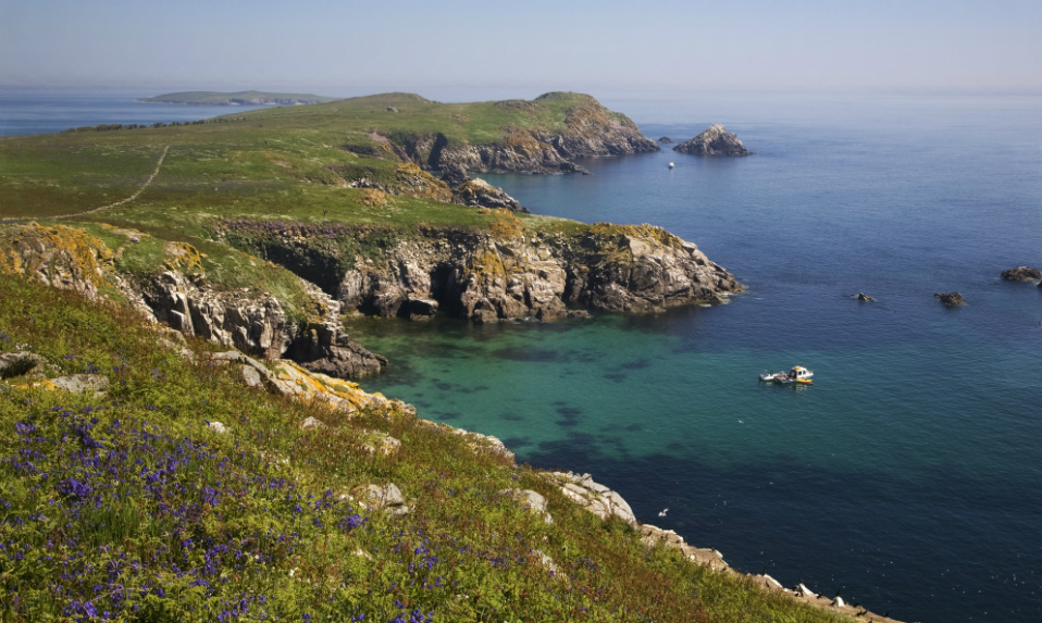 Crossafehin IslandsIslet · 128 yd
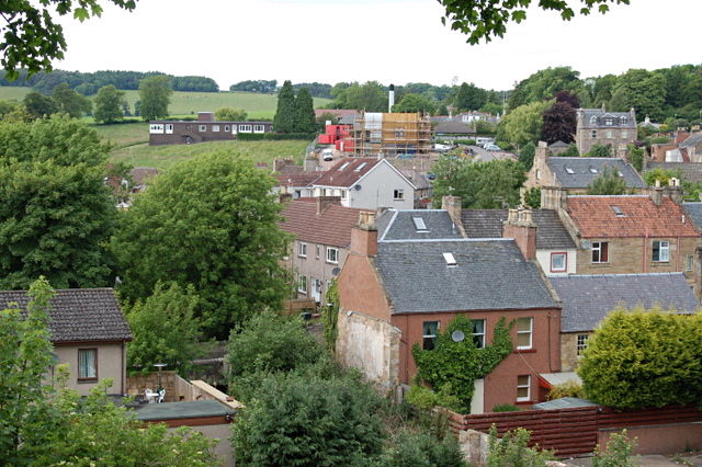 MoatCastle, motte and bailey · 540 yd
 Fort Frederick IslandsIslet · 578 yd
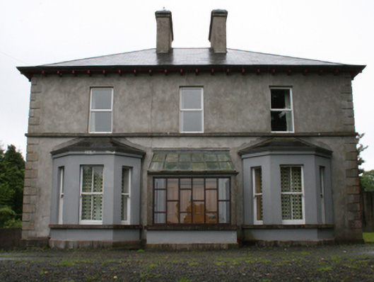 rectory/glebe/vicarage/curate's houserectory/glebe/vicarage/curate's house · 1116 yd
 Fort Frederick DemesneForest · 1153 yd
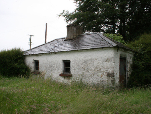 Lake View Househouse · 1194 yd
 Knockatemple WoodlandWood · 1615 yd
 IndicatedFairy fort / stone ringfort · 1.3 mi
 ToberpatrickHoly well · 1.5 mi
 Welcome to VirginiaVisitor information · 1.9 mi
 Fennor RockMountain / peak · 1.9 mi
 Virginia Handball ClubMemorial · 1.9 mi