
What is recorded here
Indicated is a substantial drystone ringfort in County Cavan, Ireland, enclosing a raised circular area nearly forty-five metres across. Its preserved wall and possible south-east entrance suggest a place built to exclude, witness or remember rather than merely occupy land. The name resists easy explanation, but the shape leaves no doubt about intention.
Raised circular area (int. diam. c. 45m) enclosed by a substantial well-preserved drystone wall. Original entrance may have been at SE.
The above description is derived from the published 'Archaeological Inventory of County Cavan' (Dublin: Stationery Office, 1995). In certain instances the entries have been revised and updated in the light of recent research.
Date of upload/revision: 22 December 2008
The monument record does not grant public access. Check the route and ask the landowner before entering private land.
- What survives
- Recorded monument
Places near here
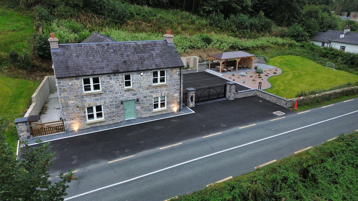 ChurdhChurch · 348 yd
 Munterconnaught Churchchurch/chapel · 355 yd
 Knockatemple WoodlandWood · 1355 yd
 Mass-rock in KnocknagartanMass-rock · 1553 yd
 Cow and Knockatemple IslandIslet · 1566 yd
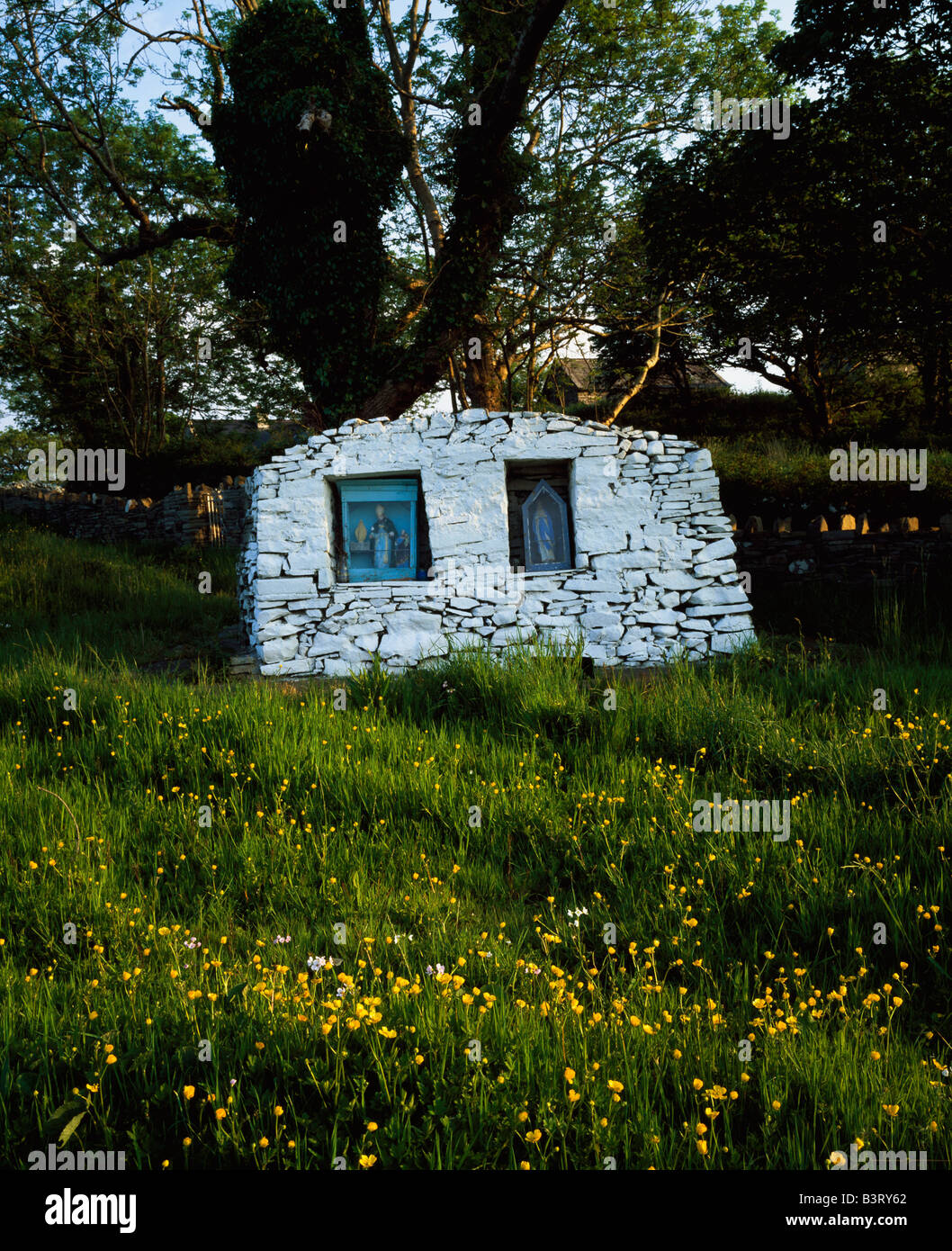 Holy well in KnocknagartanHoly well · 1611 yd
 Garrets IslandIslet · 1654 yd
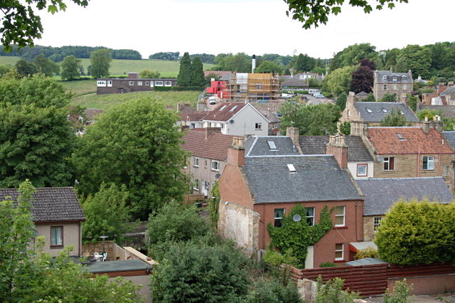 MoatCastle, motte and bailey · 1.1 mi
 IslandMountain / peak · 1.4 mi
 Site of Old CastleCastle, unclassified · 1.6 mi
 Fort Frederick DemesneForest · 1.9 mi
 Fennor RockMountain / peak · 1.9 mi
Other information
Photo: Credit not shown in the picture search · Rights wording not checked; contact us if this picture should be removed