
What is recorded here
Half a kilometre of Cavan field still holds the shadow of a fort large enough to swallow a village. Two narrow roads cut the old ring into four quarters, yet no gate remains visible to mark where people entered or left. The earth has been walked, farmed and forgotten until it became a boundary rather than a wall. What is certain is size: sixty metres across, raised, and old enough to have been called a fairy fort before anyone measured it.
Large raised circular area (int. diam. c. 61.1m) enclosed by a substantial earthen bank which has been much modified and incorporated into the field boundary. Modern narrow roadways, bordered by high earthen banks, divide the site into four roughly equal quadrants. Original entrance not recognisable.
The above description is derived from the published 'Archaeological Inventory of County Cavan' (Dublin: Stationery Office, 1995). In certain instances the entries have been revised and updated in the light of recent research.
Date of upload/revision: 22 December 2008
The monument record does not grant public access. Check the route and ask the landowner before entering private land.
- What survives
- Recorded monument
Places near here
 Cross FortsArchaeological place · 24 yd
 IndicatedFairy fort / earthen ringfort · 1369 yd
 European BeechEuropean Beech · 1.2 mi
 St Mary's Roman Catholic Churchchurch/chapel · 1.2 mi
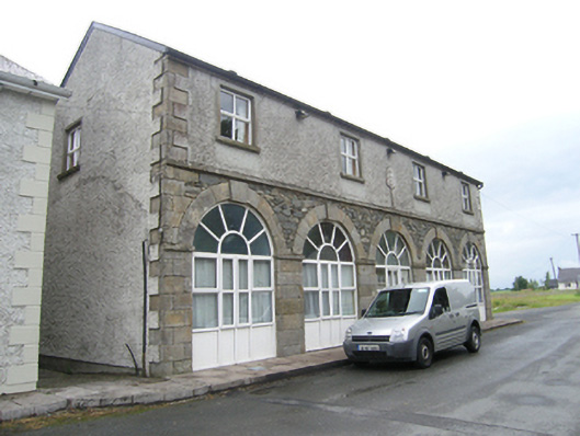 Humphry's Parochial Hallmarket house · 1.5 mi
 BillisMountain / peak · 1.5 mi
 Oak WoodForest · 1.6 mi
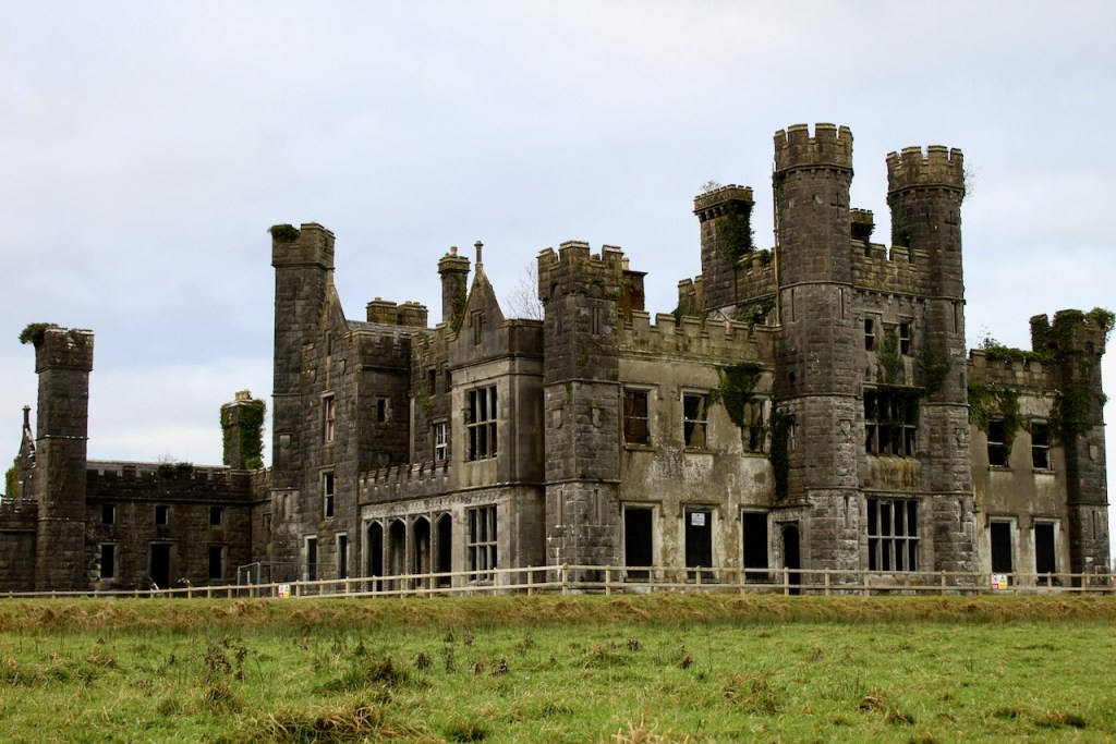 CastleCastle, unclassified · 1.8 mi
 Garden IsleIslet · 1.8 mi
 Ballyhaise Ho.Castle, unclassified · 1.9 mi
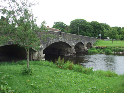 Derrygarra UpperMountain / peak · 1.9 mi
 Giants GraveArchaeological place · 2.2 mi
Other information
Photo: Credit not shown in the picture search · Rights wording not checked; contact us if this picture should be removed