What is recorded here
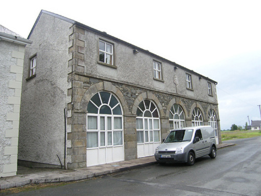
Detached five-bay two-storey former market house, built c.1740, with arcaded ground floor of ashlar sandstone. Twentieth century extension to rear. Later in use as parochial hall, now in use as private house. Pitched slate roof with recent barge board and replacement rainwater goods. Recent roughcast render to upper storey with ashlar sandstone block-and-start quoins and plaque bearing inscription ‘HUMPHRYS PAROCHIAL HALL 1906’. Round-headed former arcade openings across full width to ground floor with plain ashlar piers and arch rings, square-profile impost, voussoirs and raised keystones, random rubble spandrels with string course above, having uPVC doors and windows. Smooth rendered surrounds, sills and uPVC windows to upper floor.
A high quality early eighteenth century market house, attributable to the Palladian architect Richard Castle (d.1751) and built for Brockhill Newburgh for whom Castle designed Ballyhaise House. Located on Fair Hill, a radial road leading from the octagonal Market Place to the Fair Green, the former market house captures a vital element of estate and village planning in the early eighteenth century. Despite recent alterations, the former market house retains the essential elements of its original composition, notably the exquisitely cut sandstone ashlar forming the arcade. The building was later used as Humphry’s Parochial Hall, as recorded in a date stone of 1906, and with both these uses, has played a key role in the economic and social history of the village.
This does not grant access. Most recorded buildings are privately owned; view them only from public ground unless the owner allows entry.
Places near here
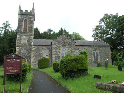 Ballyhaise Church of Ireland Churchchurch/chapel · 296 yd
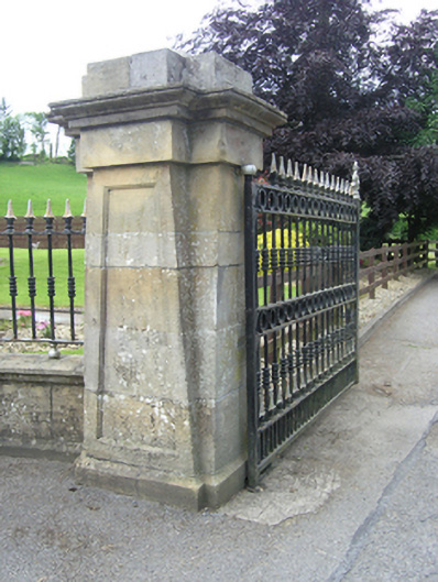 Ballyhaise Agricultural Collegedemesne walls/gates/railings · 548 yd
 Ballyhaise Ho.Castle, unclassified · 615 yd
 Agroforestry plotForest · 626 yd
 Garden IsleIslet · 632 yd
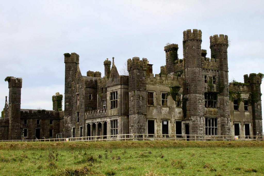 CastleCastle, unclassified · 749 yd
 Annaghduff Wet WoodlandForest · 1203 yd
 Enclosure in CarrickmoreEnclosure · 1488 yd
 Enclosure in OuleyEnclosure · 1669 yd
 CorgarveMountain / peak · 1.2 mi
 ArdamaghMountain / peak · 1.5 mi
 Giants GraveArchaeological place · 2.6 mi
Other information
Photo: National Inventory of Architectural Heritage · Website use allowed for educational or private purposes with source credit