What is recorded here
Earthwork in Cross (coonagh By.) is a hidden circular mark in wet Limerick pasture, visible only on old Bruff Survey photographs rather than modern satellite images. It sits beside a possible ringfort on a north-facing slope, suggesting a settled place that has since vanished under grass and rain. The disappearance is not a failure of mapping but a clue: the land may have swallowed the work, preserving it from eyes but keeping its shape in shadow.
On a slightly raised area, on N-facing slope, in rough wet pasture. Possible ringfort (LI024-058----) immediately to SE. Not depicted on OS historic mapping. Identified as a circular-shaped cropmark on Bruff Survey aerial photographs (Bruff 110: AP4/3676). Monument is not visible on Digital Globe orthophotos taken 2011-13 or on Google Earth orthoimages taken 28/06/2018.
See attached Bruff Survey aerial photograph and Google Earth orthoimage
Compiled by: Alison McQueen and Vera Rahilly
Date of upload: 17 July 2020
The monument record does not grant public access. Check the route and ask the landowner before entering private land.
- What survives
- Recorded monument
Places near here
 Enclosure in Cross (coonagh By.)Enclosure · 8 yd
 BarrowBarrow, ring-barrow · 296 yd
 Cross Tuck MillsWater mill, unclassified · 565 yd
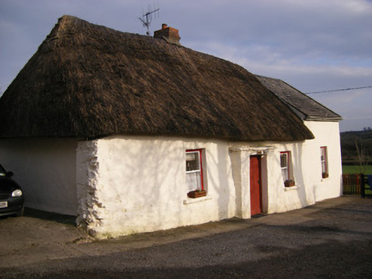 Highstreethouse · 899 yd
 ToberagaddySpring · 1.0 mi
 Kilduff CastleCastle · 1.1 mi
 Kilduff Castle (in ruins)Castle, tower house · 1.1 mi
 KnockseefinMountain / peak · 2.4 mi
 Oola HillMountain / peak · 3.1 mi
 St. Patrick's WellSpring · 4.6 mi
 Graveyard in AbingtonGraveyard · 7.0 mi
 Flat cemetery in Knockainy WestFlat cemetery · 8.8 mi