
What is recorded here
Barrow stands on Verschoyles Hill in County Dublin, a ring-barrow wide enough to circle twice before returning to the start. Ua Broin saw a small inner circle near the south edge, like a chamber hidden inside a larger room. The land was ploughed and planted in 1965, yet the shape may still lie beneath the soil, waiting for rain to draw it out.
Situated on the summit of the Verschoyles Hill. A ring- barrow shown on the 1843 OS 6-inch map as a hachured enclosure (diam. c. 37m). It was described by Ua Broin (1957, 43) as a low rath, enclosing a very small circle somewhat higher than the outer one and close to the S side of the latter. The site was ploughed and planted with trees in 1965 (Healy 1975, 1-19). This area is referred to in the OS Letters (1837) as 'Lauree' or 'Lathair na Riogh' on Saggart Hill (O'Flanagan 1927, 22).
Compiled by: Geraldine Stout and Padraig Clancy
Revised upload on: 6 July 2018
A Neolithic ring-barrow; significant as a rare surviving example of an early funerary monument in the region.
The monument record does not grant public access. Check the route and ask the landowner before entering private land.
- What survives
- Recorded monument
Places near here
 Verschoyle's HillMountain / peak · 17 yd
 BarrowBarrow, ring-barrow · 402 yd
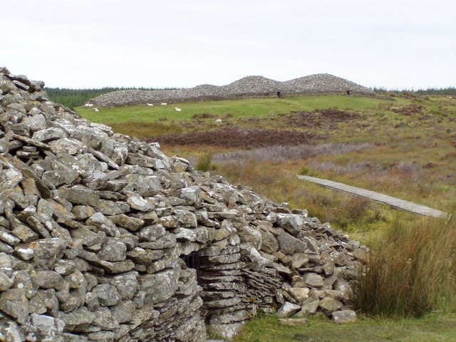 CairnCairn, unclassified · 553 yd
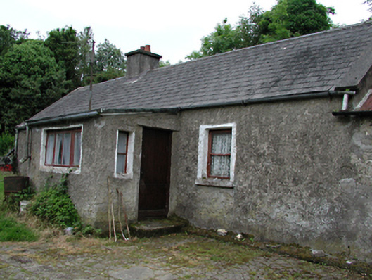 farmyard complexfarmyard complex · 669 yd
 Bridge in Lugg,sladeBridge · 674 yd
 KnackannaveaMountain / peak · 1.2 mi
 Rathcoole WoodlandWood · 1.5 mi
 CastleCastle, tower house · 1.7 mi
 Meadow WildlifeVisitor information · 1.7 mi
 Graveyard in BallymanaGraveyard · 1.9 mi
 Inniscara GalleryGallery · 2.0 mi
 Early Stadium DesignHeritage attraction · 2.9 mi
Other information
Photo: Credit not shown in the picture search · Rights wording not checked; contact us if this picture should be removed