What is recorded here
Croboy holds a faded earthen ring beside its lough, a shallow circular ridge where a grassy scarp still marks the edge of an old home. The entrance may be a narrow dip on the northeast, while the rest of the boundary melts into the land. People may have lived there, watched the water, or left the place to forget itself.
Situated on a slight ridge overlooking Croboy Lough which is c. 250m to the WNW. This is a slightly raised circular and grass-covered area (diam. 37m N-S; 36m E-W) sloping down to the NE defined by a scarp (max. H 1.2m at SW) that melds into the ground N-NE. There is no visible fosse, but the entrance may be a dip in the perimeter (Wth 4m) at NE. The cropmark can be seen on aerial images (OSAP 2017) and on Google Earth (06/06/2018).
See the attached view from Google Earth
The above description is derived from the published 'Archaeological Inventory of County Meath' (Dublin: Stationery Office, 1987). In certain instances the entries have been revised and updated in the light of recent research.
Date of revision: 18 September, 2017
Amended: 9 August, 2019
The monument record does not grant public access. Check the route and ask the landowner before entering private land.
- What survives
- Recorded monument
Places near here
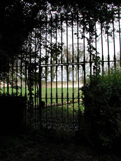 Mount Heveywalled garden · 1.2 mi
 OutlinedFairy fort / ringfort · 1.5 mi
 Partially indicatedFairy fort / earthen ringfort · 1.9 mi
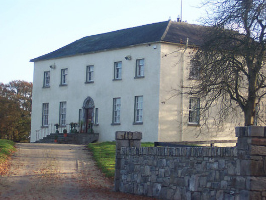 Hyde Parkcountry house · 2.0 mi
 Abandoned Kinnegad CanalWood · 2.2 mi
 Ardnamullan CastleCastle, tower house · 2.2 mi
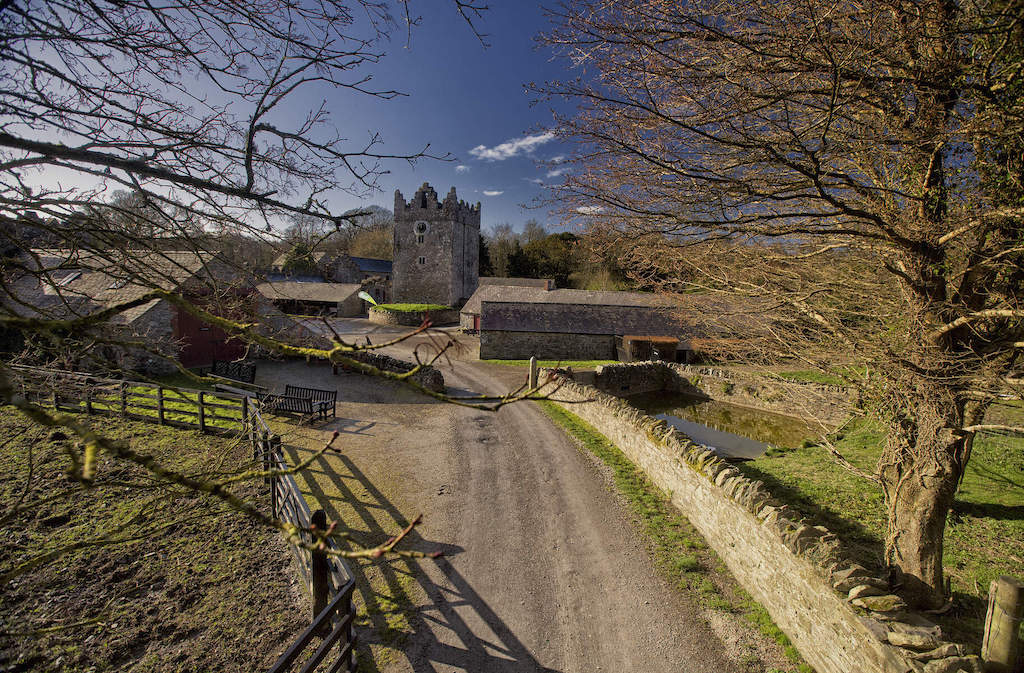 CastleCastle, unclassified · 2.7 mi
 Croppies' GraveMemorial · 3.8 mi
 ScregganWood · 4.4 mi
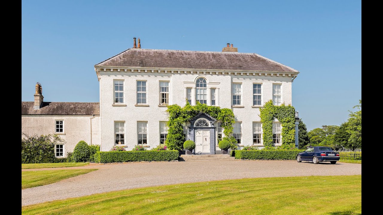 Concentric enclosure in Anneville or Clonard OldConcentric enclosure · 2.3 mi
 Grange Beg Housedovecote/pigeon house/aviary · 2.3 mi
 D'Arcy's Bridgebridge · 2.4 mi