What is recorded here
Situated on a low rise, in undulating pasture, with good views to SSE, SW, W and NW. Monument described as a much disturbed, oval-shaped area (dims. 26m NW-SE; 23.5m NE-SW) enclosed by a steep earthen bank, an intervening fosse and an outer bank with possible entrance gap (Wth at top 3.9m; basal Wth 2.2m) at E. The inner bank is reduced to a scarp from NW-N-E. There are slight traces of internal stone facing at S and a modern facing on the exterior of the scarp from S-W-NW. There are traces of a shallow fosse and a low outer bank from SW-W. Modern fences intersect the scarp at S, WNW and NW. The interior rises appreciably from the perimeter towards the centre where there is a house site (WM025-043001-).
Compiled by Alison McQueen, Vera Rahilly and Caimin O’Brien.
Date of upload: 05 September 2019
The monument record does not grant public access. Check the route and ask the landowner before entering private land.
- What survives
- Recorded monument
Places near here
 CastleCastle, unclassified · 544 yd
 Dotted outlinedFairy fort / earthen ringfort · 788 yd
 Dotted outlineFairy fort / earthen ringfort · 921 yd
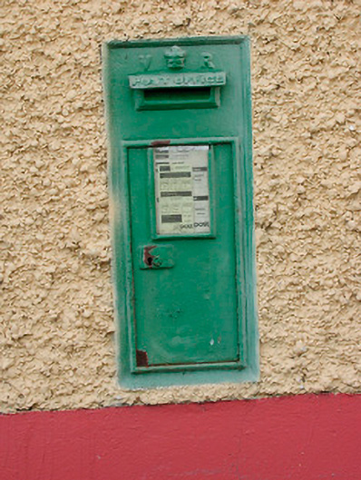 post boxpost box · 941 yd
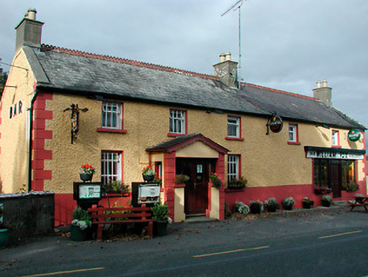 William Foxhouse · 947 yd
 Site of CastleCastle, unclassified · 1041 yd
 Ancient Ring FortWood · 1.3 mi
 Hill of UisneachMountain / peak · 2.0 mi
 European ashEuropean ash · 2.8 mi
 KnockastiaMountain / peak · 5.7 mi
 Abbeyshrule AbbeyRuins · 8.8 mi
 Bonfire HillMountain / peak · 9.3 mi