What is recorded here
Located on a fairly level landscape on the S bank of an E-W section of the Hurley River. An area of about 10 acres (c. 4 ha) with earthen banks and ditches interspersed with quarries is visible on aerial photographs from the 1970s (GSIAP: O 23, 24) and later (OSAP 2005-12). The relict fields are fairly rectangular (dims c. 40-60m x c. 60-100m) and are probably an umapped post-medieval system. No house sites are identified.
The above description is derived from the published 'Archaeological Inventory of County Meath' (Dublin: Stationery Office, 1987). In certain instances the entries have been revised and updated in the light of recent research.
Compiled by: Michael Moore
Date of upload: 10 July 2007
Amended: 4 May 2022
The monument record does not grant public access. Check the route and ask the landowner before entering private land.
- What survives
- Recorded monument
Places near here
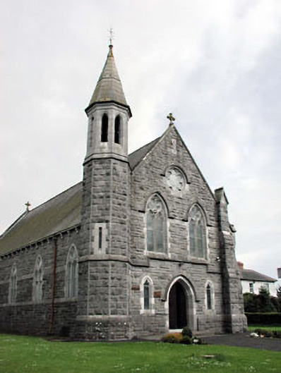 Saint Andrew's Catholic Churchchurch/chapel · 491 yd
 Font (present location) in CrickstownFont (present location) · 491 yd
 CastleCastle, unclassified · 936 yd
 Church (in Ruins)Church · 1124 yd
 Emerald ParkHeritage attraction · 1191 yd
 Lemur WoodWood · 1370 yd
 IndicatedCeremonial enclosure · 1.4 mi
 Newtown HillMountain / peak · 1.4 mi
 Newtown GorseWood · 2.1 mi
 Bawn in KilleglandBawn · 2.7 mi
 Cornstown HouseHeritage attraction · 2.8 mi
 AshbourneMemorial · 3.9 mi