What is recorded here
Lisnagunnell is a circular grass fort in County Meath, marked on maps since 1836. Its earthen bank still stands though several gaps suggest human entry or animal movement. The fairies may have built it, but people certainly walked this valley.
Situated at the head of a small N-S valley or fold on a S-facing slope. It is described as ‘Lisnagunnell’ on the 1836 and 1908 editions of the OS 6-inch map. This is a circular grass-covered area (diam. 37m) defined by an earthen bank (Wth 4-9m; int. H 0.3-0.4m; ext. H 1.2-1.3m), which is incorporated into a field bank ESE-S. There are entrance gaps at W, NW, N, E and SSE but the original entrance is not identified.
The above description is derived from the published 'Archaeological Inventory of County Meath' (Dublin: Stationery Office, 1987). In certain instances the entries have been revised and updated in the light of recent research.
Compiled by: Michael Moore
Date of revision: 22 October 2018
The monument record does not grant public access. Check the route and ask the landowner before entering private land.
- What survives
- Recorded monument
Places near here
 LisnanailFairy fort / earthen ringfort · 513 yd
 Enclosure in CloghmacooEnclosure · 697 yd
 KillaruggleChurch · 708 yd
 Cloghreagh Castle in RuinsCastle, unclassified · 1.7 mi
 Gallows HillMountain / peak · 1.8 mi
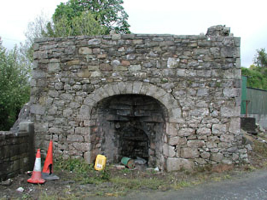 Bridge Farmkiln · 1.9 mi
 MoatCastle, motte and bailey · 2.0 mi
 White WoodForest · 2.0 mi
 Nobber GreenwayMemorial · 2.1 mi
 European YewEuropean Yew · 2.4 mi
 Drumran HillMountain / peak · 2.5 mi
 Natural Play AreaMemorial · 5.3 mi
Other information
Photo: Credit not shown in the picture search · Rights wording not checked; contact us if this picture should be removed