
What is recorded here
Situated on top of a prominent hillock. A grass-covered oval enclosure (dims c. 45m E-W; c. 33m N-S) that is probably defined by a fosse (Wth c. 3-6m) SW-N-SE is visible on Google Earth (16/03/2021). It is traversed by a relict NE-SW field bank that is depicted on the 1908 edition of the OS 6-inch map. The enclosure is also visible on an OSI image (2005-12), Digital Globe (2011-13) and Aerial Premium (2013-18) images as well as other Google Earth images. It was first reported by Jean Charles Caillére.
See the attached enhanced view from Google Earth (16/03/2021)
Compiled by: Michael Moore
Date of upload: 21 January 2022
The monument record does not grant public access. Check the route and ask the landowner before entering private land.
- What survives
- Recorded monument
Places near here
 LisnanailFairy fort / earthen ringfort · 304 yd
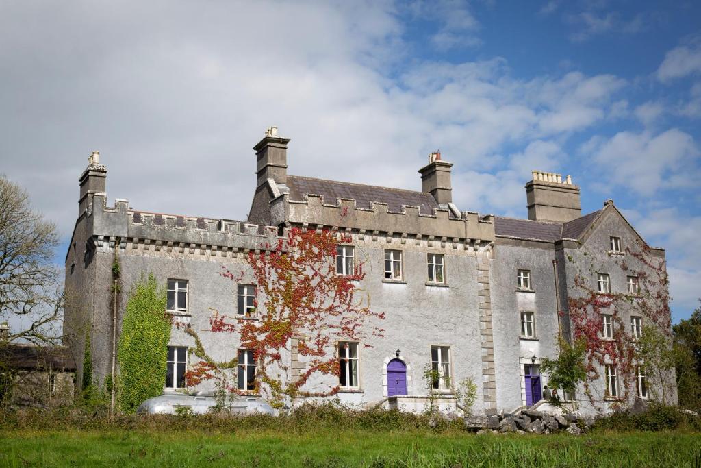 LisnagunnellFairy fort / earthen ringfort · 697 yd
 KillaruggleChurch · 1223 yd
 Cloghreagh Castle in RuinsCastle, unclassified · 1.5 mi
 Gallows HillMountain / peak · 2.0 mi
 Drumran HillMountain / peak · 2.1 mi
 CastleCastle, motte · 2.1 mi
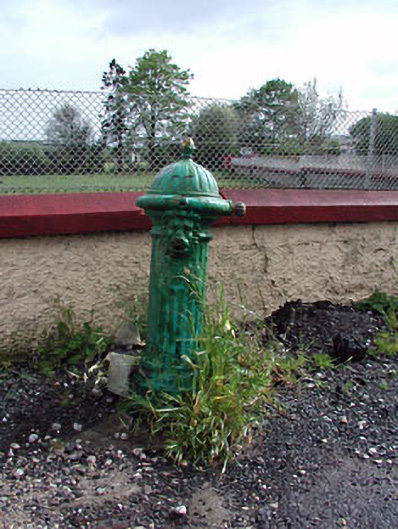 water pumpwater pump · 2.1 mi
 Nobber GreenwayMemorial · 2.3 mi
 European YewEuropean Yew · 2.7 mi
 Common LimeCommon Lime · 2.8 mi
 Natural Play AreaMemorial · 5.4 mi
Other information
Photo: Credit not shown in the picture search · Rights wording not checked; contact us if this picture should be removed