What is recorded here
Situated at SE end of Lough Ennell. Listed as Gaddaghanstown 1 and described by O'Sullivan (2004,86) as 'a large, oval island (approx. dims. 30m N-S x 20m E-W; H 3m), even in profile, with gradually sloping edges. It is probably a natural island, connected to the shoreline by a low, broad causeway, c. 15m in length, by 5m in width. It is lightly covered in trees. There are at least three rock platforms in the vicinity, one in open water to the northeast, with two rock platforms on shoreline immediately overlooking the island. These rock platforms are low, irregular or oval in shape, typically 15-20m E-W, of closely packed limestone blocks'.
Compiled by: Caimin O'Brien
Date of upload: 14 February 2017
The monument record does not grant public access. Check the route and ask the landowner before entering private land.
- What survives
- Recorded monument
Places near here
 OutlinedEnclosure · 706 yd
 Partially hachuredFairy fort / earthen ringfort · 926 yd
 FriaryReligious house, Dominican friars · 1418 yd
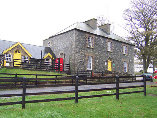 Lilliput Househouse · 1553 yd
 CastleCastle, tower house · 1615 yd
 Robinstown CastleCastle · 1.0 mi
 Dysart IslandIsland · 1.4 mi
 Ash IslandIslet · 1.7 mi
 Mollie Moo's Pet FarmHeritage attraction · 2.4 mi
 Belvedere house and gardensVisitor information · 2.7 mi
 Ardan WoodWood · 6.2 mi
 Bonfire HillMountain / peak · 6.7 mi