What is recorded here
Crannog in Cornagran sits seventy metres from the Cavan shoreline, a small island where oak piles still radiate around a central cairn. Davies found burnt bone fragments and animal teeth scattered across the SW and W shores, suggesting people lived there, fed there, and perhaps lost someone there. The lake swallowed the house but never erased the shape of the hands that built it.
In Lough Gowna, c. 70m from the shoreline. Davies (ITA Survey 1941) recorded that a crannóg-cairn occupies the SW side and centre of the island. He recorded piles and radial logs around the cairn, additional oak piles located on the W and NW shores, finds of teeth of ox, sheep and horse, and fragments of burnt bones.
The above description is derived from the published 'Archaeological Inventory of County Cavan' (Dublin: Stationery Office, 1995). In certain instances the entries have been revised and updated in the light of recent research.
Date of upload/revision: 22 December 2008
The monument record does not grant public access. Check the route and ask the landowner before entering private land.
- What survives
- Recorded monument
Places near here
 Scrabby IslandIslet · 10 yd
 Lough Gowna Church of Ireland Churchchurch/chapel · 278 yd
 CornagranMountain / peak · 366 yd
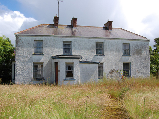 Laureldalehouse · 383 yd
 Cloone Ho.Castle, unclassified · 458 yd
 Scrabby Hill FortArchaeological place · 1361 yd
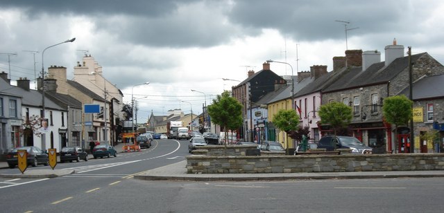 AghaveansMountain / peak · 1389 yd
 Cornamucklagh WoodlandWood · 1447 yd
 Enclosure in AghanoranEnclosure · 1578 yd
 Mulrick WoodlandForest · 1.2 mi
 White IslandIslet · 1.3 mi
 CastleBawn · 2.6 mi