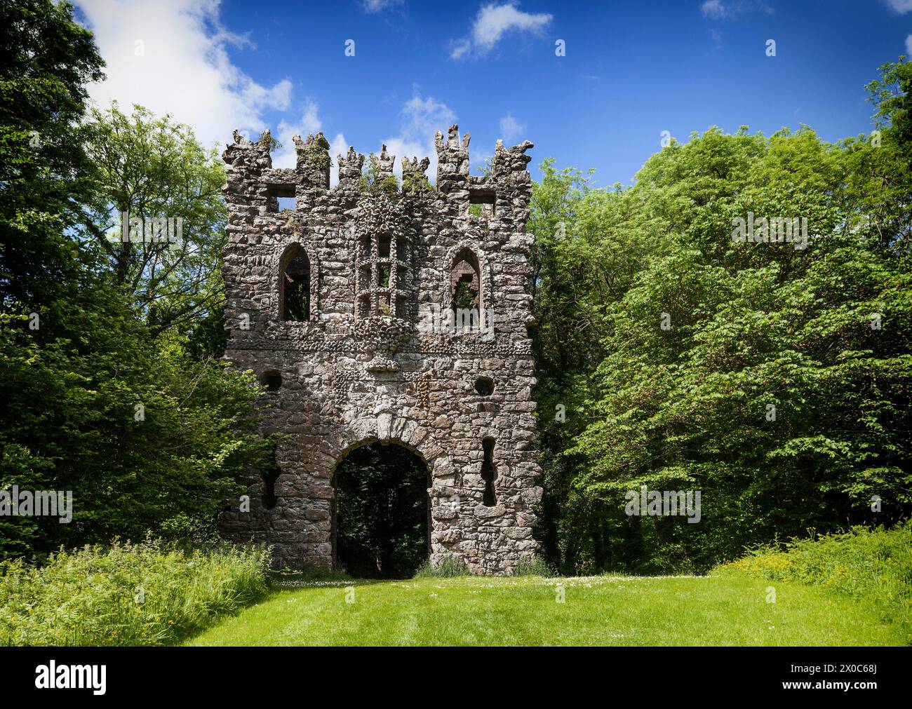
What is recorded here
Situated on top of a rise, in gently undulating pasture, with good views in all directions. In SSE quadrant of ringfort (WM025-082----) is a rectangular-shaped house site (dims. 7.8m NW-SE; 6.1m NE-SW) defined by a slight bank (approx. Wth 1.3m). A second house site (WM025-082001-) is visible to NW. Two small mounds and a large stone inside the ringfort bank at S may be the remains of a third possible structure, of a lean-to style. Monument is visible as a roughly rectangular-shaped earthwork on oblique aerial photographs (CUCAP AJQ089/AOY101/102/BDK028) taken 09/07/1964, 12/07/1966 and 14/07/1970 respectively.
Compiled by Alison McQueen, Vera Rahilly and Caimin O’Brien.
Date of upload: 12 September 2019
The monument record does not grant public access. Check the route and ask the landowner before entering private land.
- What survives
- Recorded monument
Places near here
 Dotted outlineFairy fort / earthen ringfort · 10 yd
 Dotted outlinedFairy fort / earthen ringfort · 296 yd
 CastleCastle, unclassified · 382 yd
 Taghboyne Church in ruinsChurch · 824 yd
 Redmondstowndemesne walls/gates/railings · 1301 yd
 Site of CastleCastle, unclassified · 1.0 mi
 Ancient Ring FortWood · 1.8 mi
 Hill of UisneachMountain / peak · 2.1 mi
 European ashEuropean ash · 2.8 mi
 KnockastiaMountain / peak · 5.4 mi
 Bonfire HillMountain / peak · 8.9 mi
 Abbeyshrule AbbeyRuins · 9.1 mi
Other information
Photo: Credit not shown in the picture search · Rights wording not checked; contact us if this picture should be removed