
What is recorded here
Indicated is a faint circular scar thirty-four metres wide on flat ground below Corrofin Castle, its western edge marked by a gentle rising bank while field walls have chewed through the eastern side. The enclosure has surrendered most of its shape to time and farming, leaving only a ghost of its boundary. It may have held a house, a shrine or a boundary for people whose names vanished before written history began. What remains is not a ruin but a suggestion, inviting imagination to complete what erosion has erased.
On low-lying level ground to SW of Corrofin Castle (GA057-089----). The very poorly preserved remains of a subcircular enclosure (N-S c. 34m) defined from WSW through N to NE by a gentle scarp. The E sector has been disturbed by the construction of a field wall and another field wall delimits the monument from SSE to WSW.
The above description is derived from the published 'Archaeological Inventory of County Galway Vol. II - North Galway'. Compiled by Olive Alcock, Kathy de hÓra and Paul Gosling (Dublin: Stationery Office, 1999).
Date of upload: 05 August 2010
The monument record does not grant public access. Check the route and ask the landowner before entering private land.
- What survives
- Recorded monument
Places near here
 Corrofin CastleCastle · 267 yd
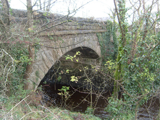 Corrofin Bridgebridge · 357 yd
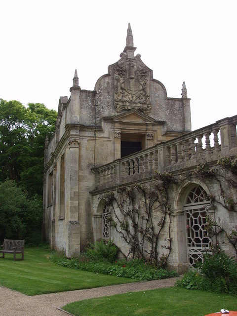 Old R.C. ChapelChapel · 499 yd
 Castle (in ruins)Castle, tower house · 1452 yd
 Field system in CarheenshowaghField system · 1.1 mi
 RathmoreFairy fort / earthen ringfort · 1.2 mi
 Common WhitebeamCommon Whitebeam · 4.4 mi
 SycamoreSycamore · 4.4 mi
 Kilcoona Round TowerHeritage attraction · 6.8 mi
 Mass RockNamed rock · 6.8 mi
 Ballinduff BayBay · 8.0 mi
 Oileán an AoilIsland · 9.9 mi
Other information
Photo: Credit not shown in the picture search · Rights wording not checked; contact us if this picture should be removed