What is recorded here
On N side of stream (1935 OS 6-inch map) which survives as shallow linear depression, crossing field. Kidney shaped spread (18m NW-SE; 8m NE-SW) of burnt material; opening faces approx. NNE. Second similar spread (CO035-070---) on opposite side of stream, c. 25m to SW.
The above description is derived from the published 'Archaeological Inventory of County Cork. Volume 2: East and South Cork' (Dublin: Stationery Office, 1994). In certain instances the entries have been revised and updated in the light of recent research.
Date of upload/revision: 14 January 2009
The monument record does not grant public access. Check the route and ask the landowner before entering private land.
- What survives
- Recorded monument
Places near here
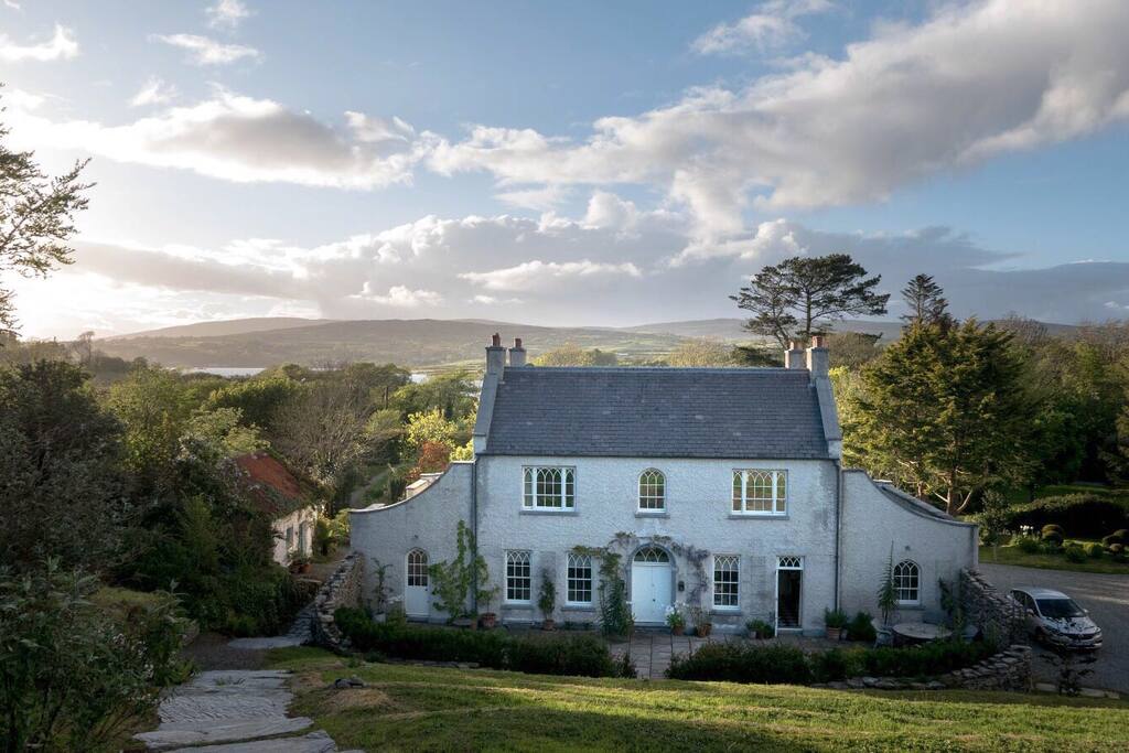 Hearth in CorrinHearth · 906 yd
 IndicatedHouse, vernacular house · 1230 yd
 Enclosure in CorrinEnclosure · 1254 yd
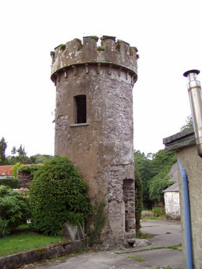 Ballynahina Housefolly · 1566 yd
 Corrin WoodsWood · 1.2 mi
 Pope's WellSpring · 1.5 mi
 Ballybrack WoodForest · 1.5 mi
 Barrymore Castle or Castle LyonsHouse, fortified house · 2.0 mi
 Graveyard in FermoyGraveyard · 2.6 mi
 Tourist InformationVisitor information · 2.6 mi
 Kent BridgeMemorial · 2.6 mi
 Carrigabrick Castle (in Ruins)Castle, tower house · 3.1 mi