What is recorded here
Fairy fort / earthen ringfort in Correagh (clonlonan By.) is a fairy fort or earthen ringfort in Correagh (clonlonan By.), County Westmeath, Ireland. The 1837 edition Ordnance Survey map depicts the site as a roughly oval-shaped earthwork in gently undulating pasture, while the revised 1910 edition map describes it as a substantial oval-shaped earthwork enclosed by a bank. This bank measures approximately 48 metres north-south and 42 metres east-west and has been intersected from the south-southwest by a post-1700 field boundary. The monument is visible today as an oval-shaped tree-lined earthwork on Digital Globe aerial photography.
Situated in gently undulating pasture. Depicted on the 1837 ed. OS 6-inch map as a roughly oval-shaped earthwork. Depicted on the revised 1910 ed. OS 25-inch map as a substantial oval-shaped earthwork (approx. dims. 48m N-S; 42m E-W) enclosed by a bank, which has been intersected from S-SW by a post-1700 field boundary. Monument is visible today as an oval-shaped tree-lined earthwork on Digital Globe aerial photography.
Compiled by Alison McQueen, Vera Rahilly and Caimin O’Brien.
Date of upload: 07 November 2019
The monument record does not grant public access. Check the route and ask the landowner before entering private land.
- What survives
- Recorded monument
Places near here
 OutlinedFairy fort / ringfort · 573 yd
 Killeennadrawhouse · 1544 yd
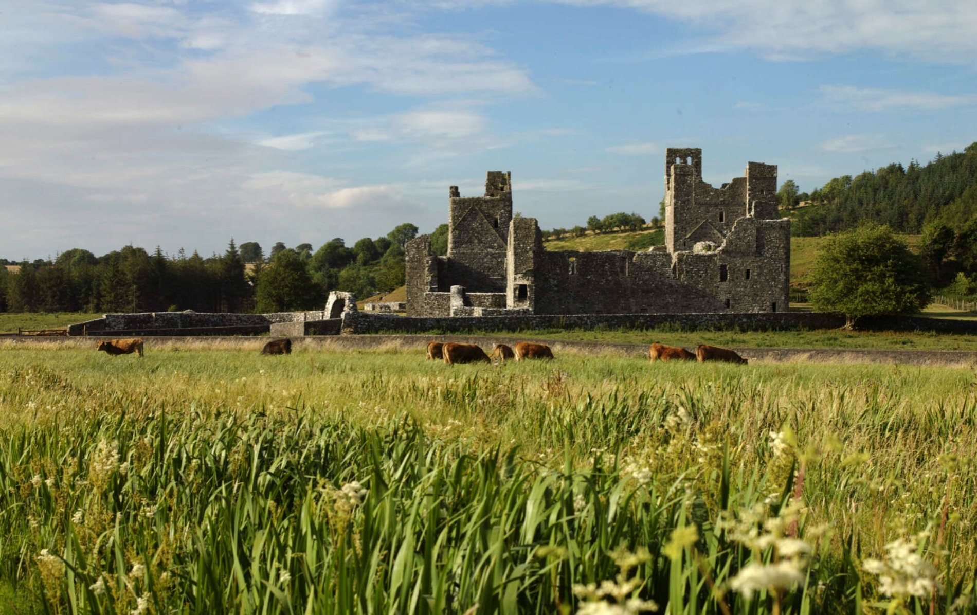 IndicatedCastle, motte and bailey · 1562 yd
 Partially indicatedEnclosure · 1602 yd
 Ballycloghduff Houseunknown · 1627 yd
 CastleCastle, unclassified · 1637 yd
 Dún na Sí Heritage CentreMuseum · 2.4 mi
 Dún na SíMuseum · 2.4 mi
 Charles BianconiMemorial · 3.0 mi
 Moate HillMountain / peak · 3.2 mi
 European ashEuropean ash · 6.6 mi