What is recorded here
Fairy fort in Corramegan, County Monaghan. D-shaped grass ring, twenty-nine and a half metres long, defined by a scarp and field banks. Just northwest of the centre a depression bends north, perhaps a destroyed underground passage reaching a break in the bank. The true entrance has not been identified. In 1968 the perimeter was mostly clear; now furze occupies it. A ridge-end place, partly hidden, with a hole where a passage may have been.
Situated at the SW tip of a NE-SW ridge or spur. This is a D-shaped grass-covered area (dims 29.5m N-S; 28m E-W) defined by a scarp (Wth 1.3-2m; H 1.4-1.7m) SE-W-NNW, and by an E-W field bank and drain at N and a NNW-SSE field bank at E. There is no visible fosse, but there is a field bank at the base of the scarp SSE-SSW. The original entrance is not identified. Just NW of the centre is a depression (dims 8m E-W; 3.8m; D 0.9m) that turns N (dims 7m N-S; 3.4m E-W; D 0.9m) at its W end, which is probably a destroyed Man-made underground passage, and extends to a break in the bank at NW. Although it was generally free of excessive growth in 1968 the perimeter is now overgrown with furze.
The above description is derived from the published 'Archaeological Inventory of County Monaghan' (Dublin: Stationery Office, 1986). In certain instances the entries have been revised and updated in the light of recent research.
Revised by: Michael Moore
Date of revision: 30 January 2018
The monument record does not grant public access. Check the route and ask the landowner before entering private land.
- What survives
- Recorded monument
Places near here
 Man-made underground passage in CorrameganMan-made underground passage · 6 yd
 Giants GravesCourt tomb · 490 yd
 Saint Mary's Catholic Churchchurch/chapel · 1.2 mi
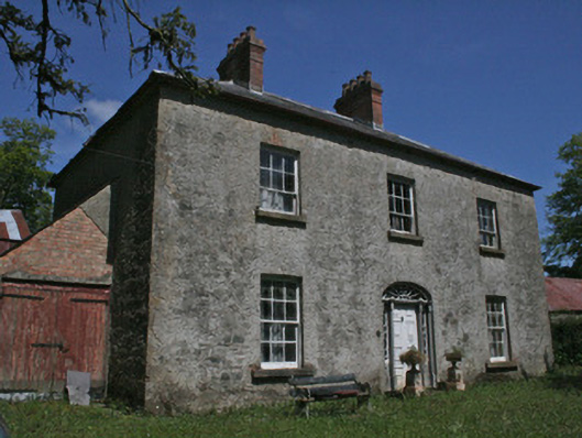 Drumbrean Cottagehouse · 1.2 mi
 Lisarrilly HillMountain / peak · 1.4 mi
 Roosky Castle (Site of)Castle, ringwork · 1.8 mi
 Tomb HillMountain / peak · 2.7 mi
 Common LimeCommon Lime · 3.6 mi
 Jaundice WellSpring · 3.6 mi
 KillycoonaghWood · 3.7 mi
 Saint John's WellSpring · 3.9 mi
 Dagda's CauldronHeritage attraction · 4.8 mi