What is recorded here
Fairy fort in Cornaslieve, County Leitrim: an earthen ringfort, 25m by 20m, set on a south-facing drumlin slope, its bank reduced to a scarp in places and a shallow fosse cut outside. Field banks still touch its northern and southern edges, though no entrance remains visible. People may have lived there, fenced it, forgotten it, or fed it to story until stone and soil became a name for hidden life.
Situated towards the top of the S-facing slope of a low drumlin. This is an overgrown circular or D-shaped area (dims c. 25m N-S; c. 20m E-W) defined by an earthen bank (at SE: Wth of base 2.2m; int. H 0.25m; ext. H 0.75m) which is frequently reduced to a scarp, and an external fosse (at SE: Wth of base 1.5m; D 0.2m) E-S. Field banks are attached to the perimeter at N and S, and the original entrance is not identified.
The above description is derived from 'The Archaeological Inventory of County Leitrim' compiled by Michael J. Moore (Dublin: Stationery Office, 2003). In certain instances the entries have been revised and updated in the light of recent research.
Compiled by: Michael Moore
Date of upload: 23 September 2008
The monument record does not grant public access. Check the route and ask the landowner before entering private land.
- What survives
- Recorded monument
Places near here
 R. C. ChapelChurch · 452 yd
 Enclosure in Clogher (leitrim By.),dromore (leitrim By.)Enclosure · 690 yd
 LisduffFairy fort / earthen ringfort · 696 yd
 CastlecarraCastle, unclassified · 873 yd
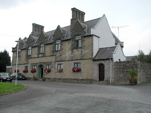 Summerhill Lodgeworkhouse administration block · 1.4 mi
 Moon RiverHeritage attraction · 1.9 mi
 PortCastle, unclassified · 2.1 mi
 Declaration of IndependenceMemorial · 2.5 mi
 Patrick Gill Memorial Plaque (IRA)Monument · 2.5 mi
 Shannon-Erne WaterwayVisitor information · 2.7 mi
 Wildlife AreaNature reserve · 2.8 mi
 Battle of Áth an Chipbattle · 3.2 mi