What is recorded here
No amount of thinking can force a clean answer when the facts refuse to fit. I will not decorate a missing place name or invent a person, date, event or claim about the camera.
On a hillock in pasture. A raised oval area (37m N-S; 23m E-W) enclosed by a substantial bank of earth and stone (Wth 5-6m; H 0.4-1m) with a wide, waterlogged, external fosse (Wth 5-7m; D 0.3-1m). There are modern field boundaries at the outer lip of the fosse from W-N-ESE. The original entrance is not recognisable. A report in 1978 (SMR file) recorded a waterlogged depression, of unknown significance, inside the bank at N. The rath is densely overgrown with scrub.
Compiled by: Patrick F. O'Donovan
Date of upload: 26 August 2011
The monument record does not grant public access. Check the route and ask the landowner before entering private land.
- What survives
- Recorded monument
Places near here
 ToomeMountain / peak · 444 yd
 Ritual siteRitual site, holy tree/bush · 868 yd
 CaveMan-made underground passage · 1578 yd
 IdicatedCastle, unclassified · 1.5 mi
 St. Columbas R.C. ChurchChurch · 1.6 mi
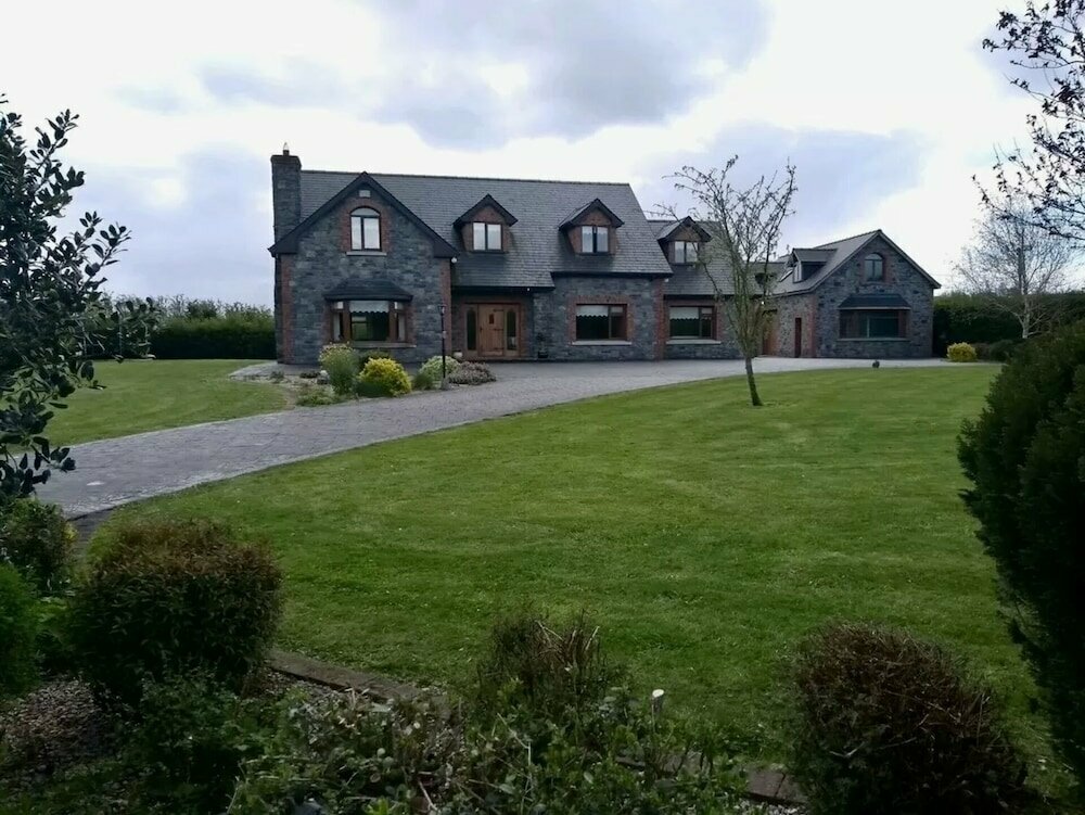 Carnagh LowerMountain / peak · 1.6 mi
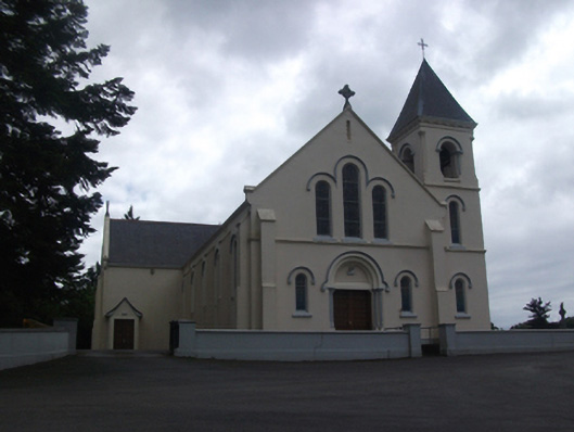 Our Lady of Lourdes Roman Catholic Churchchurch/chapel · 1.6 mi
 Cornamucklagh WoodlandWood · 2.2 mi
 Derrycassan WoodsWood · 2.7 mi
 Scrabby IslandIslet · 3.0 mi
 Cloone Ho.Castle, unclassified · 3.2 mi
 InchmoreIslet · 3.7 mi