What is recorded here
In undulating pasture within a large rectangular field 130m N of the townland boundary with Ballyphilip. One of 12 ring-barrows (LI023-275/79---- and LI023-280/86----) in three adjacent fields in a cluster / cemetery (ext. diam. c. 200m). A ring-barrow (LI023-279---) lies 10m to S and a ring-barrow (LI023-281----) is 10m to N. A separate ring-barrow cemetery comprised of twelve sites (LI023-22501/121) is located 300m to SE in Ballyphilip (Clanwilliam By.) townland. The ring-barrow is not depicted on historic OSi maps. Not visible on OSi orthoimages taken 2005-12 or on Digital Globe orthoimages taken 2011-2013. Identified by Bruff aerial photographic survey in 1986 (Bruff 26106; AP 4/3665) as a circular ring-barrow (ext. diam. c. 6m N-S; 6m E-W). The ring-barrow is not visible on Google Earth orthoimages. The cultivated grass cover suggests the field has been reclaimed in the late 20th or early 21st century as is visible from the most recent Google Earth orthoimage taken 28/06/2018.
See attached Bruff survey image showing the site labelled Bruff 26106 and Google Earth orthoimage
Compiled by: Edmond O’Donovan
Date of upload: 7 September 2020
Ring-barrow, Late Bronze Age to Early Iron Age. Part of a significant burial cluster indicating a local cemetery used over an extended period.
The monument record does not grant public access. Check the route and ask the landowner before entering private land.
- What survives
- Recorded monument
Places near here
 BarrowBarrow, ring-barrow · 348 yd
 Field system in Ballyphilip (clanwilliam By.)Field system · 539 yd
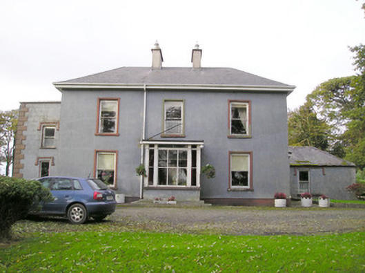 Cloverfield Housecountry house · 1741 yd
 Aglishcormick Grave YardChurch · 1.2 mi
 St. Patrick's WellSpring · 1.7 mi
 Kilteely HillMountain / peak · 2.0 mi
 Castle (in ruins)Castle, unclassified · 2.1 mi
 Ballyvorneen Ho.Castle, tower house · 2.1 mi
 KnockseefinMountain / peak · 2.8 mi
 Flat cemetery in Knockainy WestFlat cemetery · 5.2 mi
 St Patrick's WellSpring · 8.0 mi
 Ballinvreena LoopVisitor information · 11 mi