
What is recorded here
On low-lying, wet pasture, which is cut by land drains and watercourses. Within a large complex of ring-barrows. Not depicted on OSi historic maps. Identified as four roughly parallel linear and slightly curvilinear-shaped cropmarks by the Bruff aerial photographic survey in 1986 (Bruff 15709: AP 4/3665). Anomalies are visible as a series of at least nine roughly parallel linear and slightly curvilinear-shaped cropmarks (approx. L 300m) running NNW-SSE and covering an area of at least 16.5ha on OSi orthoimage taken 2005-2012 and on Google Earth orthoimage taken 25/03/2017.
See attached Google Earth orthoimage 25/03/2017 and Bruff aerial survey image labelled Bruff 15709.
Compiled by: Alison McQueen and Vera Rahilly
Date of upload: 10 September 2020
The monument record does not grant public access. Check the route and ask the landowner before entering private land.
- What survives
- Recorded monument
Places near here
 BarrowBarrow, ring-barrow · 193 yd
 Aglishcormick Grave YardChurch · 1517 yd
 Enclosure in Milltown (coonagh By., Grean Ed)Enclosure · 1595 yd
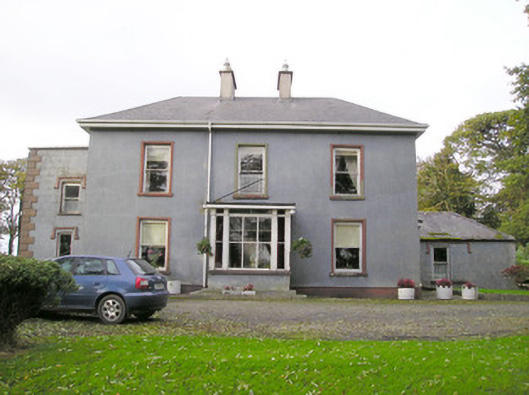 Cloverfield Housecountry house · 1.0 mi
 St. Patrick's WellSpring · 1.4 mi
 Kilteely HillMountain / peak · 1.8 mi
 Castle (in ruins)Castle, unclassified · 2.3 mi
 Ballyvorneen Ho.Castle, tower house · 2.3 mi
 KnockseefinMountain / peak · 2.6 mi
 Flat cemetery in Knockainy WestFlat cemetery · 5.2 mi
 St Patrick's WellSpring · 7.9 mi
 Ballinvreena LoopVisitor information · 11 mi
Other information
Photo: Credit not shown in the picture search · Rights wording not checked; contact us if this picture should be removed