What is recorded here
In low-lying, wet pasture, which is cut by land drains and watercourses and which is adjacent to W of a linear land drain running N-S. Within a large complex of ring-barrows, where ring-barrows (LI023-283/-282----) lie 3m to N and 7m to NW, respectively. Not depicted on OSi historic maps. Identified as a circular-shaped cropmark by oblique aerial photography (McCloud AF 16). Monument is visible as a faint circular-shaped cropmark on OSi orthoimage taken 2005-2012 and on Digital Globe aerial orthoimage taken 2011-2013, however is not visible on Google Earth orthoimage taken 28/06/2018.
See attached Google Earth orthoimage 28/06/2018 and McCloud aerial survey image labelled AF 16.
Compiled by: Alison McQueen and Vera Rahilly
Date of upload: 11 September 2020
A Neolithic ring-barrow; part of a larger barrow cemetery. Its significance lies in its association with a complex of related burial monuments, reflecting early communal burial practices in the region.
The monument record does not grant public access. Check the route and ask the landowner before entering private land.
- What survives
- Recorded monument
Places near here
 BarrowBarrow, ring-barrow · 248 yd
 Field system in Ballyphilip (clanwilliam By.)Field system · 441 yd
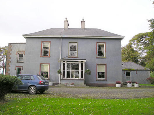 Cloverfield Housecountry house · 1711 yd
 Aglishcormick Grave YardChurch · 1.1 mi
 St. Patrick's WellSpring · 1.6 mi
 Kilteely HillMountain / peak · 2.0 mi
 Ballyvorneen Ho.Castle, tower house · 2.2 mi
 Castle (in ruins)Castle, unclassified · 2.2 mi
 KnockseefinMountain / peak · 2.7 mi
 Flat cemetery in Knockainy WestFlat cemetery · 5.2 mi
 St Patrick's WellSpring · 8.0 mi
 Ballinvreena LoopVisitor information · 11 mi