What is recorded here
Situated on a level landscape, with a canalized N-S stream c. 50m to the E. Archaeological testing (04E0918) by D. Nelis (2005) in Testing Area 9 of Contract 4 of the M3 motorway identified burnt mound material (excavations.ie 2004:1213) that was excavated (E003138) by G. McLoughlin (2010) as Cookstown Great 2 during January and February 2007 (excavations.ie 2007:1291) when an area of 9600 square metres was opened and three prehistoric phases were identified. Two isolated pits (dims 1.48m x 1.27m; D 0.21m: 1.2m x 0.73m; D 0.16m) that were filled with heat-affected stones are interpreted as possible troughs, and a sample of hazel charcoal from one provided a C14 date of 2337-2144 cal. BC (UBA 11083). Although there is no burnt mound surviving and no other features are associated with the pits, this is probably the remains of a fulacht fia dating to the Early Bronze Age. (McLoughlin 2010, 5-6)
Compiled by: Michael Moore
Date of upload; 23 March 2022
The monument record does not grant public access. Check the route and ask the landowner before entering private land.
- What survives
- Recorded monument
Places near here
 Enclosure in Kilmainham (kells Upper By., Teltown Par.)Enclosure · 605 yd
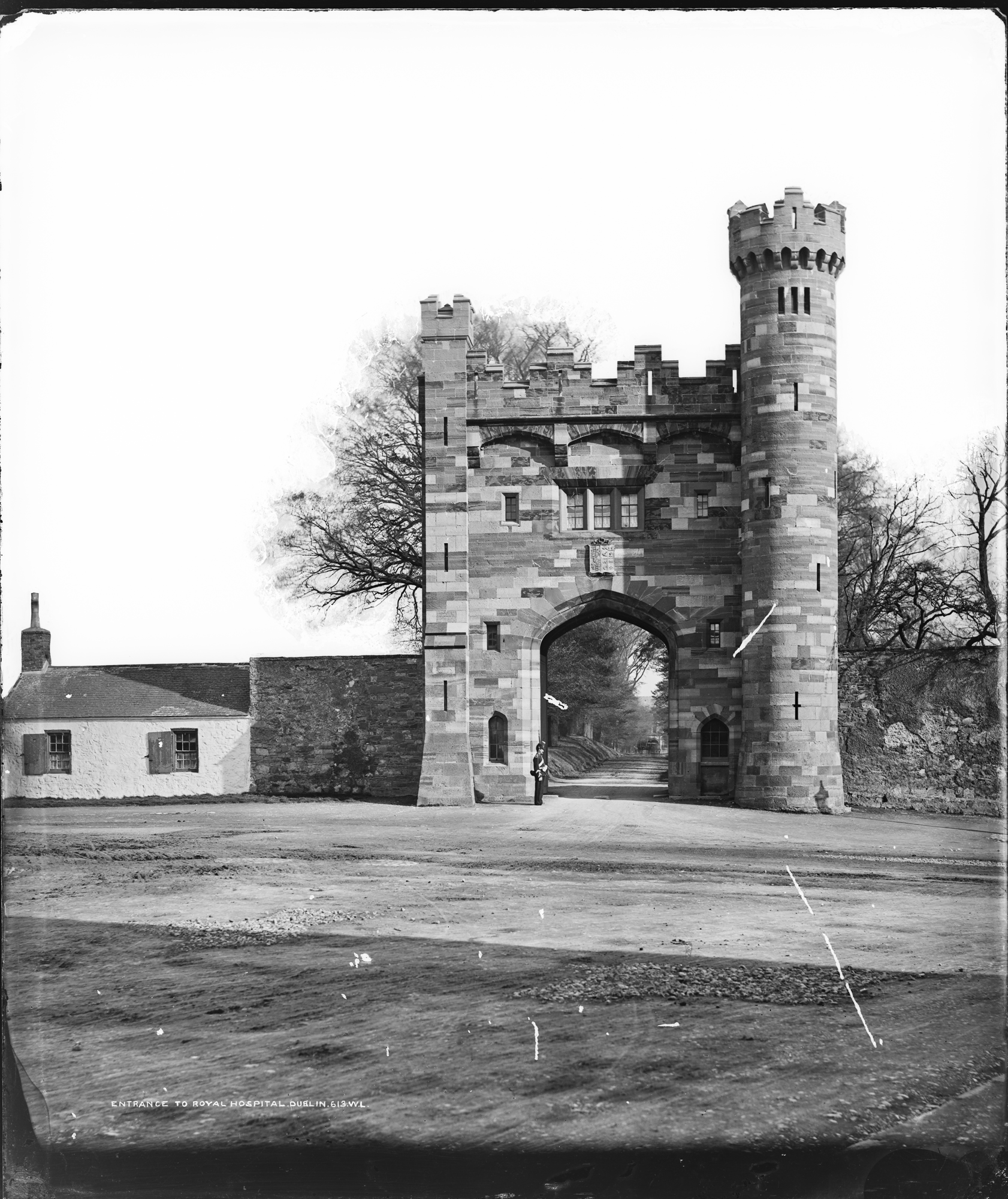 Enclosure in Kilmainham (headford)Enclosure · 1523 yd
 Orchard WoodWood · 1.1 mi
 Castle ruinsCastle · 1.2 mi
 Furzy WoodWood · 1.2 mi
 CastleCastle, motte · 1.2 mi
 BallybegMountain / peak · 1.3 mi
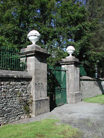 Headfort Housedemesne walls/gates/railings · 1.5 mi
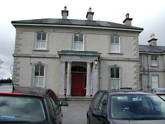 Eurekahouse · 1.5 mi
 Saint John's CemeteryMemorial · 1.6 mi
 The Parnell GardenMemorial · 1.7 mi
 BalreaskMountain / peak · 3.1 mi