
What is recorded here
Kits Green is a lost ringfort in County Dublin, Ireland. A house was built on the site, and the earth forgot the fortress. What remains is a field where memory stopped listening.
Located in a field of low-lying pasture. The 1837 OS 6-inch map shows an oval enclosure (50m N-S; 30m E-W). The depiction of the site on the current OS 6-inch map suggests that it was a ringfort. An archaeological assessment of the site in the winter of 1999 revealed no archaeological evidence for the monument. A dwelling had been constructed on the site (Conway, 2000, 57-8).
Compiled by: Geraldine Stout
Date of upload: 26 August 2011
The monument record does not grant public access. Check the route and ask the landowner before entering private land.
- What survives
- Recorded monument
Places near here
 Enclosure in CommonEnclosure · 192 yd
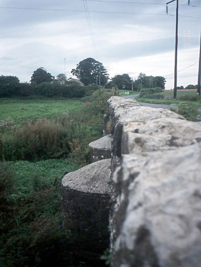 Chapelmidway Bridgebridge · 409 yd
 Church (in ruins)Church · 602 yd
 Enclosure in LaurestownEnclosure · 782 yd
 Freedagh MoatCastle, motte · 1463 yd
 CastleCastle, unclassified · 1.5 mi
 Graveyard in KillosseryGraveyard · 2.6 mi
 St Cronans WellSpring · 2.8 mi
 The JackoWood · 2.9 mi
 Kim Archibold MemorialMemorial · 2.9 mi
 The MoundViewpoint · 3.2 mi
 BallymunVisitor information · 3.9 mi
Other information
Photo: Credit not shown in the picture search · Rights wording not checked; contact us if this picture should be removed