What is recorded here
Earthwork in Colman (hennessy) is an earthwork in Colman (hennessy), County Tipperary, Ireland. It occupies a 90 by 45 metre pasture area on a slight east-facing slope, southeast and east of a graveyard. A roughly rectangular raised plateau, 30 metres wide, sits immediately southeast of the graveyard and is defined by a gentle scarp to its south and east. A linear gully flanks that scarp along the east and south sides, with further undulations and irregular gullies extending east and south, while a wet area occupies the southeast corner of the field.
In pasture, on a slight E-facing slope. Area (dims. 90m ENE-WSW; 45m NNW-SSE) of gentle undulations to SSE and E of graveyard (TS070-086001-). Roughly rectangular raised plateau (Wth 30m) to immediate SSE of graveyard defined by gentle scarp to S and E. Linear gully flanks scarp along E-and S-sides with undulations further to E and S, separated by irregular gullies. Wet area in SE corner of field. Church (TS070-086----) and enclosure (TS070-085----) located c. 22m and 100m to N respectively.
Compiled by: Jean Farrelly
Date of upload: 26 August 2011
The monument record does not grant public access. Check the route and ask the landowner before entering private land.
- What survives
- Recorded monument
Places near here
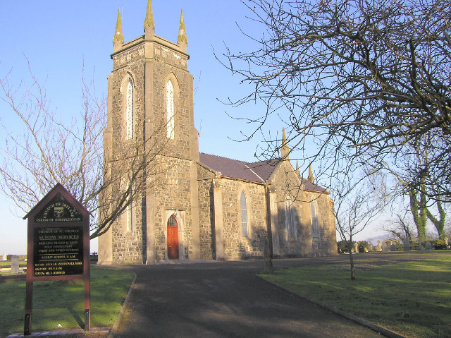 Colman Church (in ruins)Church · 71 yd
 Enclosure in Colman (hennessy)Enclosure · 144 yd
 ToberamaherHoly well · 421 yd
 Rathdrum Castle (in ruins)Castle, tower house · 1430 yd
 BatteryBawn · 1445 yd
 Mora Church (in ruins)Church · 1.3 mi
 Pedunculate OakPedunculate Oak · 2.2 mi
 Grove WoodForest · 2.8 mi
 East GateMemorial · 3.0 mi
 Kilknockan HillMountain / peak · 4.0 mi
 Enclosure in Moorstown (mora Par.)Enclosure · 991 yd
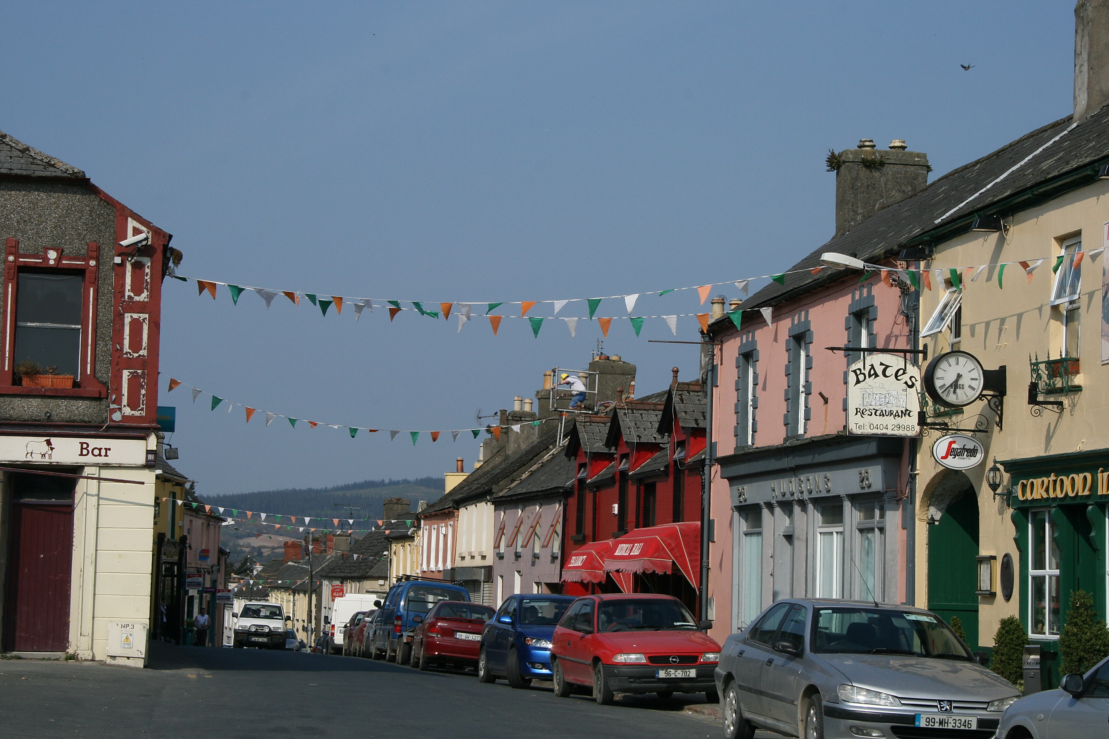 (Site of) TemplemurryChurch · 1143 yd