What is recorded here
The following description is derived from both the published 'Archaeological Inventory of County Louth' (Dublin: Stationery Office, 1986) and the 'Archaeological Survey of County Louth' (Dublin: Stationery Office, 1991). In certain instances the entries have been revised and updated in the light of recent research.
Date of upload/revision: 17 July 2007
Situated on terrace of E slopes of Mt Oriel. Ring-barrow (max. dim. 21.4m) comprising a circular, level interior (diam. 7.1m) enclosed by a fosse (Wth 1.3m at base, 2.5m at top; D 1.1m) and external bank (Wth 4m overall; H 1.1m internally, 0.6m externally), now much eroded and best preserved on W. Site marked on the 1835 ed. of OS 6-inch map as 'Mount Oriel Fort'.
A ring-barrow, likely dating to the Early Bronze Age, associated with burial practices of the period; its form indicates a circular earthen mound, possibly with a central cist or kerb. Found in Collon, it contributes to understanding of Bronze Age funerary traditions in eastern Ireland.
The monument record does not grant public access. Check the route and ask the landowner before entering private land.
- What survives
- Recorded monument
Places near here
 Mount Oriel FortArchaeological place · 13 yd
 Mount OrielMountain / peak · 661 yd
 Fulacht fia in CollonFulacht fia · 1180 yd
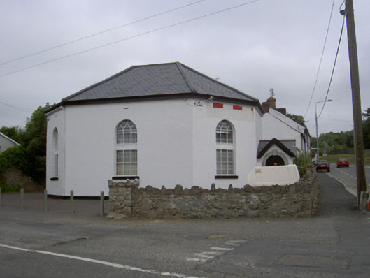 church/chapelchurch/chapel · 1.1 mi
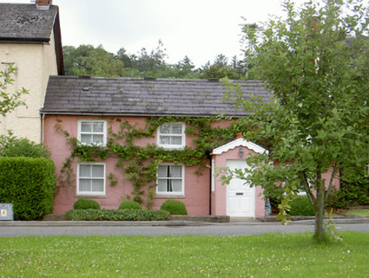 Grinny's Cottagehouse · 1.1 mi
 Black HillMountain / peak · 1.6 mi
 Cloghar WoodForest · 2.1 mi
 Pedunculate OakPedunculate Oak · 2.2 mi
 Irish Military Museum And ParkMuseum · 2.4 mi
 Site of Old CastleCastle, unclassified · 2.6 mi
 Not idicatatedCastle, unclassified · 2.9 mi
 Monasterboice Round TowerHeritage attraction · 3.7 mi