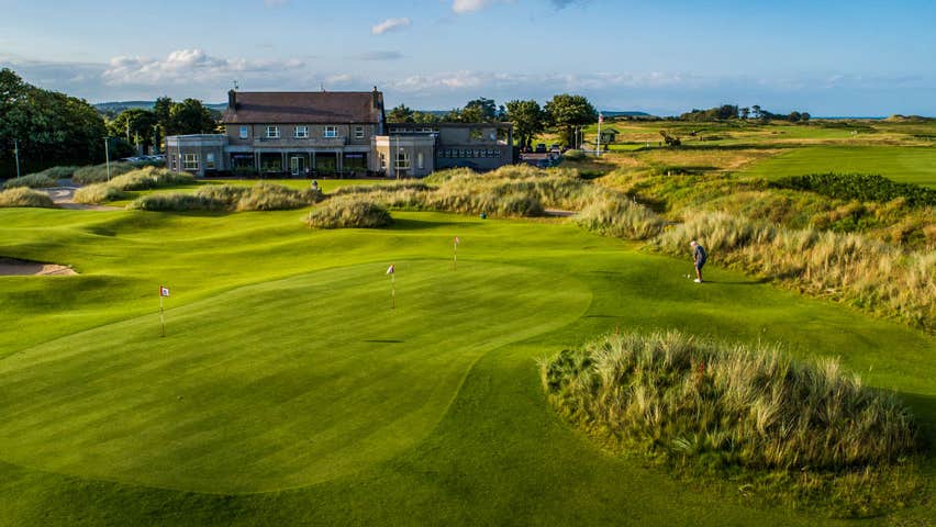
What is recorded here
The following description is derived from both the published 'Archaeological Inventory of County Louth' (Dublin: Stationery Office, 1986) and the 'Archaeological Survey of County Louth' (Dublin: Stationery Office, 1991). In certain instances the entries have been revised and updated in the light of recent research.
Date of upload/revision: 17 July 2007
Two irregular low mounds situated beside stream in marshy ground.
The monument record does not grant public access. Check the route and ask the landowner before entering private land.
- What survives
- Recorded monument
Places near here
 Kennys WellHoly well · 918 yd
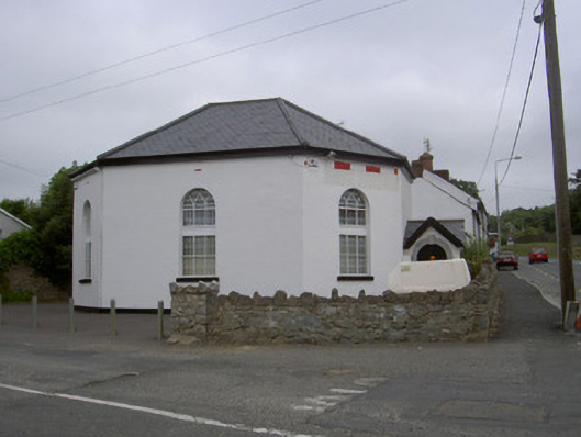 church/chapelchurch/chapel · 937 yd
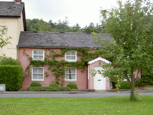 Grinny's Cottagehouse · 1028 yd
 Mount Oriel FortArchaeological place · 1190 yd
 Black HillMountain / peak · 1578 yd
 Mount OrielMountain / peak · 1712 yd
 Pedunculate OakPedunculate Oak · 1.7 mi
 Irish Military Museum And ParkMuseum · 1.8 mi
 Cloghar WoodForest · 2.0 mi
 CastleCastle, unclassified · 2.6 mi
 Drummond TowerCastle · 2.7 mi
 Monasterboice Round TowerHeritage attraction · 3.0 mi
Other information
Photo: Credit not shown in the picture search · Rights wording not checked; contact us if this picture should be removed