What is recorded here
Four centuries of rain and wind have not erased the shallow western cup or the eastern relief on the tapering stone. It still stands south of the Killeen Cormac burial ground, a plain rectangular marker in a place where people laid others to rest. The missing bottom and uneven shape suggest it was moved, broken or reused before becoming a boundary, tomb or warning.
To S of centre in ‘Killeen Cormac’ burial ground (KD032-044----). First recorded by Fitzgerald (1899-1902(f), 161 (B)). A heavily lichen-covered stone, square at the base but tapering to a rectangular top (H 1.4m; L at base 0.47m E-W; Wth 0.46m N-S; L at top 0.3m E-W; Wth 0.2m). There is a shallow three-sided square depression (open to W) on the top of the stone (L 0.1m; Wth 0.1m; D 3cm), and there is a raised semi-circular area (diam. 0.3m) below the top of the E face, which looks as if carved in relief.
Compiled by: Gearóid Conroy
Date of upload: 21 November 2013
Likely dating to the Early Christian or Bronze Age period, the stone may have served as a ritual or memorial marker within the burial ground. Its placement suggests a possible link to local funerary practices or early ecclesiastical activity.
The monument record does not grant public access. Check the route and ask the landowner before entering private land.
- What survives
- Recorded monument
Places near here
 Church in ColbinstownChurch · 7 yd
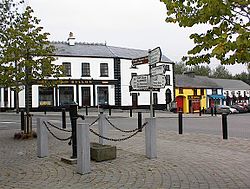 IndicatedFairy fort / earthen ringfort · 448 yd
 Enclosure in RahoonbeakEnclosure · 631 yd
 Colbinstown Castle (in Ruins)Castle, unclassified · 671 yd
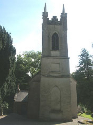 Church of the Ascension (Ballynure)church/chapel · 1664 yd
 Spratstown Fox CovertWood · 1.1 mi
 Grangecon Castle (in ruins)Castle, tower house · 1.5 mi
 Site of Fair GreenForest · 1.6 mi
 Memorial to 1798 rebellionMonument · 3.2 mi
 Ballyhook HillMountain / peak · 3.8 mi
 Battle of Kilrushbattle · 4.8 mi
 Tinoran HillMountain / peak · 4.9 mi