What is recorded here
In the SW sector of ‘Killeen Cormac’ burial ground (KD032-044----). First recorded by Fitzgerald (1899-1902(f), 161 (A)). A tapering lozenge-shaped stone (H 1.06m; base Wth of NE face 0.23m; Wth of SE face 0.3m; Wth of SW face 0.23m; Wth of NW face 0.25m; top L 0.23m E-W; Wth 0.10m N-S), the top and N and E corners of which are flaking away.
Compiled by: Gearóid Conroy
Date of upload: 21 November 2013
Likely dating to the Bronze Age, this pillar stone may have had a ritual or commemorative function within the burial ground. Its placement suggests a possible link to early Christian or prehistoric funerary practices, though specific folklore or symbolic meaning is not recorded.
The monument record does not grant public access. Check the route and ask the landowner before entering private land.
- What survives
- Recorded monument
Places near here
 Church in ColbinstownChurch · 25 yd
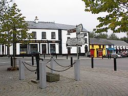 IndicatedFairy fort / earthen ringfort · 453 yd
 Enclosure in RahoonbeakEnclosure · 642 yd
 Colbinstown Castle (in Ruins)Castle, unclassified · 689 yd
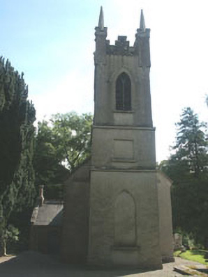 Church of the Ascension (Ballynure)church/chapel · 1649 yd
 Spratstown Fox CovertWood · 1.1 mi
 Grangecon Castle (in ruins)Castle, tower house · 1.5 mi
 Site of Fair GreenForest · 1.7 mi
 Memorial to 1798 rebellionMonument · 3.2 mi
 Ballyhook HillMountain / peak · 3.8 mi
 Battle of Kilrushbattle · 4.8 mi
 Tinoran HillMountain / peak · 4.9 mi