What is recorded here
Indicated is a fairy fort or earthen ringfort in Cloonyourish, County Roscommon, Ireland. It occupied a gentle SE-facing slope as an oval grass-covered area measuring 53.6m NNE-SSW and 41.7m WNW-ESE. An earthen bank and outer fosse defined the structure, though a NW-SE field bank and drains bisected the site. Aerial images from 2005 show the fort had been removed since 2001.
On a gentle SE-facing slope. Oval grass-covered area (dims 53.6m NNE-SSW; 41.7m WNW-ESE) defined by an earthen bank (at NE: Wth 8m; int. H 0.1m; ext. H 0.7m) and outer fosse (at NE: Wth of top 10.8m; Wth of base 4.5m; D 0.3m) WNW-NE which is incorporated into field banks NE-E and WSW-WNW, and a fosse (Wth of top 3-4m; int. D 0.8m; ext. D 0.4m) E-WSW. There is no identifiable original entrance, and it is bisected by a NW-SE field bank and drains. It has been removed since 2001 (OSI aerial images 2005).
Compiled by: Michael Moore
Date of upload: 24 August 2010
This remains an important historical record, but the official description says the monument is no longer visible or has been destroyed. The monument record does not grant public access. Check the route and ask the landowner before entering private land.
- What survives
- No visible remains or recorded as destroyed
Places near here
 Enclosure in Ballinturly (athlone North By.)Enclosure · 888 yd
 Church (Site of)Church · 907 yd
 CastleCastle, unclassified · 914 yd
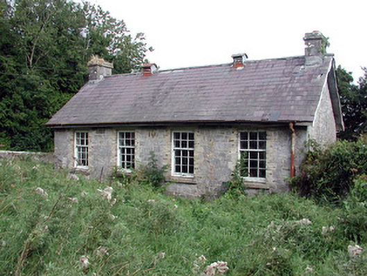 Saint Patrick's National Schoolschool · 1.1 mi
 aviary/dovecote/pigeon houseaviary/dovecote/pigeon house · 1.5 mi
 European Crab AppleEuropean Crab Apple · 1.6 mi
 Bolinree WoodForest · 2.2 mi
 Roscommon CastleCastle · 3.8 mi
 Sally IslandIslet · 4.1 mi
 Castle KellyCastle, tower house · 5.1 mi
 Mount MaryMountain / peak · 6.8 mi
 Inch IslandIsland · 8.8 mi