What is recorded here
Cloonscott holds a twenty-two-metre earthen ring where human hands first shaped the slope, long before fairy tales dressed it in mystery. A low bank of earth and stone still encloses the grass, broken only by a narrow paved gap that may have served people or merely marked a boundary for fields. The circle resists explanation because it refuses to disappear, waiting for someone to stop asking whether it is magic and start wondering what it was for.
Close to the base of a W-facing slope in pasture. A raised circular area (diam. c. 22m) enclosed by a partially denuded, low bank of earth and stone (Wth 3.5m; H 0.3m). There is no trace of a fosse. From ESE-S-WSW the bank has been modified and incorporated into a field boundary. At NE is a paved entranceway (Wth 1m) of uncertain date.
Compiled by: Patrick F. O'Donovan
Date of upload: 26 August 2011
This remains an important historical record, but the official description says the monument is no longer visible or has been destroyed. The monument record does not grant public access. Check the route and ask the landowner before entering private land.
- What survives
- No visible remains or recorded as destroyed
Places near here
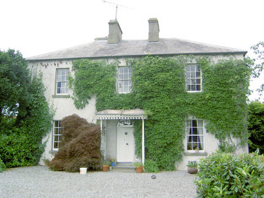 Torboy Househouse · 776 yd
 fort HachuredFairy fort / earthen ringfort · 1612 yd
 IndicatedFairy fort / earthen ringfort · 1.1 mi
 Abbeyderg (in Ruins)Religious house, Augustinian canons · 1.2 mi
 National Famine WayWalking route · 1.2 mi
 Bawn in CastlereaBawn · 1.4 mi
 Mornin Castle (in Ruins)Castle, tower house · 1.6 mi
 Corlea Bog Walk Canal BranchWalking route · 3.8 mi
 Corlea Trackway Interpretative CentreHeritage attraction · 4.0 mi
 Graveyard in Curry (ardagh By., Coolamber Ed)Graveyard · 4.3 mi
 Newcastle WoodsForest · 5.1 mi
 Leveret IslandIslet · 8.7 mi