What is recorded here
On the E shore of rectangular Ardakillin Lough (dims c. 500m E-W; c. 350m N-S) close to the exit point of a W-E stream. The lake was much larger in the 19th century (dims c. 1.8km NE-SW; c. 350m NW-SE at NE to c. 600m NW-SE at SW), extending much further to the NE (1837 OS 6-inch map). This may have been an O'Conor stronghold also known as Lough Carrigeen with references from the 11th to the 15th century (Gormley 1989, 121-3), and is probably the find spot of numerous artifacts including a slave collar, a skull, and about 50 tons of animal bones during drainage operations in the 1840s (Whitfield 2000). At that time its upper stony level was surrounded by a stone wall, outside of which there were wooden piles. (Graves 1858-9, 131-2; Wood-Martin 1886, 236-9)
It is now an oval, flat-topped and grass-covered mound (dims of base 27m E-W; 20m N-S; dims of top 20m E-W; 13m N-S; H 2-3m) with a N-S trench (Wth of top 5.7m; D 0.5m to W; D 1.3m to E) cut through the top of the mound. Crannog (RO028-102----) is c. 210m to the N.
Compiled by: Michael Moore
Date of upload: 24 August 2010
The monument record does not grant public access. Check the route and ask the landowner before entering private land.
- What survives
- Recorded monument
Places near here
 IndicatedFairy fort / earthen ringfort · 436 yd
 Church (in Ruins)Church · 575 yd
 Embanked enclosureFairy fort / earthen ringfort · 1585 yd
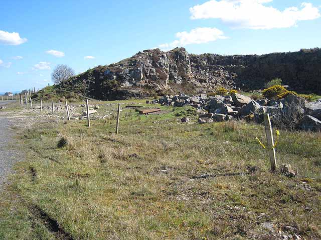 Quarry in BallydalyQuarry · 1.4 mi
 Leitrim CastleCastle, unclassified · 2.6 mi
 Cruachan Aí Heritage CentreMuseum · 3.4 mi
 CastleCastle, unclassified · 3.5 mi
 Common LimeCommon Lime · 3.5 mi
 Sweet ChestnutSweet Chestnut · 3.6 mi
 Strokestown House GardensHeritage attraction · 3.6 mi
 ToberagullaSpring · 4.2 mi
 Slieve BawnMountain / peak · 5.1 mi