What is recorded here
Lissachutty Fort is a fairy fort or earthen ringfort in Clooncunny, County Roscommon, Ireland. The site appears as a large circular embanked enclosure on the 1837, 1914 and 1927 Ordnance Survey maps. A low east-west ridge supports the remains, while a west-east stream flows eighty metres to the south. A north-south field bank now covers part of the western perimeter, leaving only an overgrown earthen chord visible beyond that barrier.
Marked as a large circular embanked enclosure (max. ext. diam. c. 70m) described as 'Lissachutty' on the 1837, 1914 and 1927 eds of the OS 6-inch map, and situated on a low E-W ridge with a W-E stream c. 80m to the S. It is overlain by a N-S field bank towards the perimeter at W, and only survives W of this feature as a chord (C c. 30m) of an overgrown earthen bank (Wth 4m; int. H 0.3m; ext. H 0.7m) often reduced to a scarp (H 0.7m) SW-NW. There is no visible fosse (original diam. c. 50m).
Compiled by: Michael Moore
Date of upload: 24 August 2010
The monument record does not grant public access. Check the route and ask the landowner before entering private land.
- What survives
- Recorded monument
Places near here
 Church in LaghtcauskChurch · 1214 yd
 Embanked enclosureFairy fort / earthen ringfort · 1434 yd
 IndicatedFairy fort / earthen ringfort · 1.0 mi
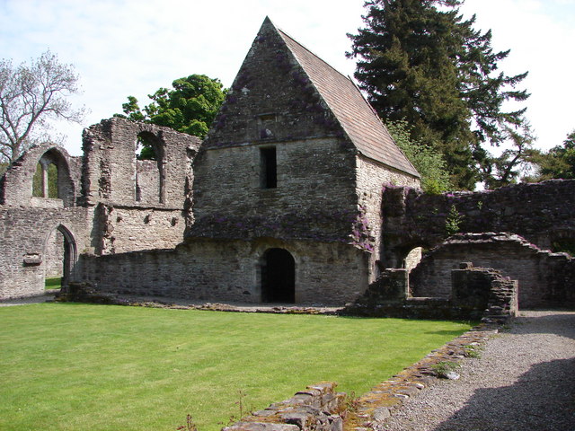 RuinChurch · 1.8 mi
 CastleCastle, unclassified · 3.3 mi
 Cruachan Aí Heritage CentreMuseum · 3.3 mi
 War of Independence Commemorative Military MemorialMemorial · 3.4 mi
 Sweet ChestnutSweet Chestnut · 3.4 mi
 Caslans WoodForest · 3.4 mi
 Strokestown House GardensHeritage attraction · 3.6 mi
 ToberagullaSpring · 4.2 mi
 Leitrim CastleCastle, unclassified · 5.4 mi