
What is recorded here
Situated on slight SW-facing slope in tillage. Depicted as a roughly semi-circular hachured area (c. 25m ENE-WSW; c. 15m NNW-SSE) on the OS 1913 edition of the OS 6-inch map, on the NNW side of an ENE-WSW orientated field boundary. The enclosure has been levelled and there are no remains now visible at ground level.
Compiled by: Mark Keegan
Date of upload: 19 January 2011
The monument record does not grant public access. Check the route and ask the landowner before entering private land.
- What survives
- Recorded monument
Places near here
 Enclosure in Killeenduff (tireragh By.)Enclosure · 914 yd
 CastleCastle, motte · 1041 yd
 Split RockNamed rock · 1359 yd
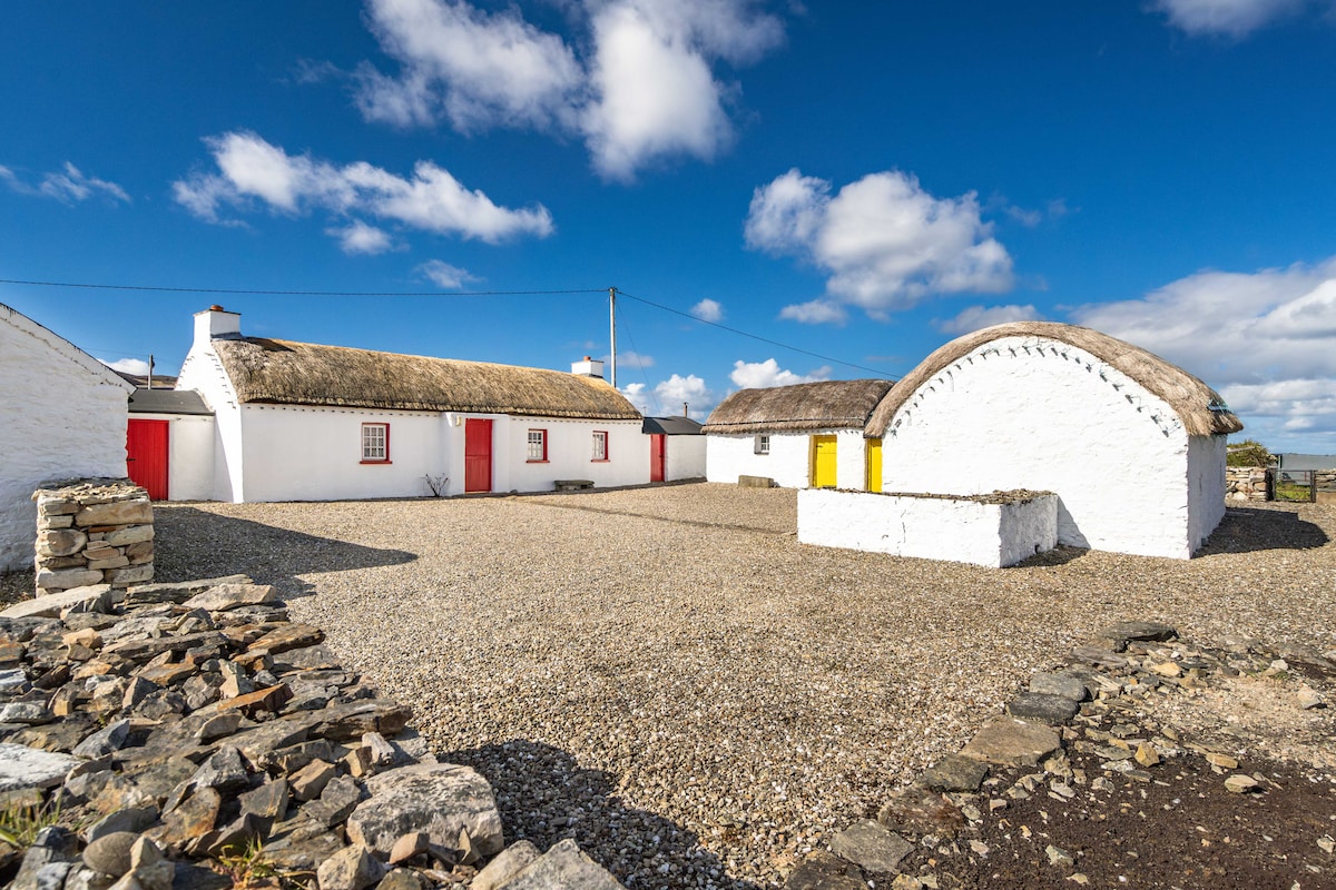 Hut site in BallynahownaHut site · 1546 yd
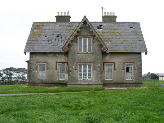 Templeviewhouse · 1.0 mi
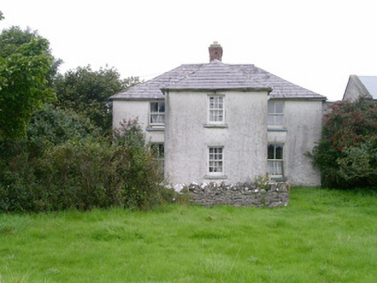 Rosleahouse · 1.0 mi
 Ballynahowna CastleCastle, tower house · 1.3 mi
 Jim Smith MemorialMemorial · 1.8 mi
 Cooanmore PointHeadland · 1.9 mi
 Wild Atlantic Way: Easky PierVisitor information · 1.9 mi
 Wild Atlantic Way: Inishcrone PierVisitor information · 7.2 mi
 Grave of the Black PigArchaeological place · 7.7 mi
Other information
Photo: Credit not shown in the picture search · Rights wording not checked; contact us if this picture should be removed