What is recorded here
Cave is a man-made underground passage in Cloonagleavragh, County Sligo, Ireland. The 1838 map shows a small oblong feature in the centre of a circular tree ring about 25m wide, itself inside a square field about 30m on each side. The 1913 map still marks the site, though no passage is visible today in the gently undulating pasture.
Situated in gently undulating pasture. On the 1838 OS 6-inch map, this Man-made underground passage, marked as ‘Cave’, is shown as a small oblong feature located within the centre of a circular ring (diam. c. 25m) of trees, which are, in turn, enclosed within a square field (c. 30m N–S; c. 30m E–W). It is indicated as 'Cave (Site of)' on the 1913 edition. No trace of a Man-made underground passage now visible. The Man-made underground passage may have been located within a ringfort (SL011-042002-).
Compiled by: Mark Keegan
Date of upload: 19 January 2011
The monument record does not grant public access. Check the route and ask the landowner before entering private land.
- What survives
- Recorded monument
Places near here
 IndicatedFairy fort / ringfort · 597 yd
 Enclosure in Killeenduff (tireragh By.)Enclosure · 733 yd
 Split RockNamed rock · 1176 yd
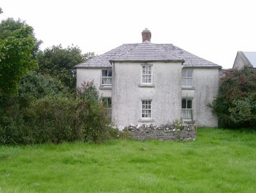 Rosleahouse · 1248 yd
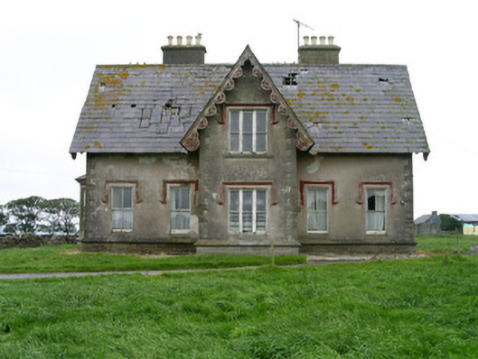 Templeviewhouse · 1254 yd
 CastleCastle, motte · 1634 yd
 Jim Smith MemorialMemorial · 1.4 mi
 Wild Atlantic Way: Easky PierVisitor information · 1.5 mi
 Cooanmore PointHeadland · 1.6 mi
 Bawn in CastletownBawn · 1.6 mi
 Wild Atlantic Way: Inishcrone PierVisitor information · 7.2 mi
 Grave of the Black PigArchaeological place · 7.8 mi