What is recorded here
On a SW-facing slope. Depicted as an oblong enclosure with a limekiln immediately beside it to the NW on the 1837 ed. of the OS 6-inch map. Described in 1975 (SMR file) as a subcircular paddock/enclosure (diam. 29m) defined by a bank of earth and stone that was stone-faced externally at SE. A low drystone wall overlay the bank at SW and W and a NW-SE running laneway clipped it at NE. A haybarn and some small sheds had been built within the interior. The antiquity of this possible enclosure is uncertain, it may have been reused as a paddock.
Compiled by: Patrick F. O'Donovan
Date of upload: 14 November 2012
The monument record does not grant public access. Check the route and ask the landowner before entering private land.
- What survives
- Recorded monument
Places near here
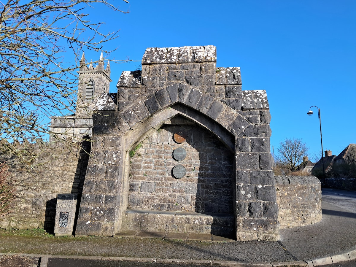 Enclosure in Cloonagh (granard By.)Enclosure · 217 yd
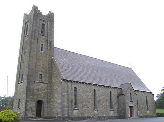 Saint Columba's Catholic Churchchurch/chapel · 626 yd
 St. Columbas R.C. ChurchChurch · 980 yd
 Lissakerry FortFairy fort / earthen ringfort · 1181 yd
 Derrycassan WoodsWood · 1.1 mi
 ToomeMountain / peak · 1.5 mi
 InchmoreIslet · 2.1 mi
 Cornamucklagh WoodlandWood · 2.3 mi
 CartronfreeMountain / peak · 2.5 mi
 IdicatedCastle, unclassified · 2.8 mi
 Scrabby IslandIslet · 2.9 mi
 Cloone Ho.Castle, unclassified · 3.0 mi