What is recorded here
On top of a low hillock in undulating grassland with a good views in all directions. There is an enclosure (TS048-046----) 100m to the NW. An enclosure (overall diam. c. 40m E-W 40m; int. diam c. 30m E-W) defined by a densely overgrown earthen bank from N to E where it is incorporated into a field boundary which preserves the original bank of the enclosure. The remaining circuit of the monument has been levelled.
Compiled by: Jean Farrelly
Date of upload: 26 August 2011
The monument record does not grant public access. Check the route and ask the landowner before entering private land.
- What survives
- Recorded monument
Places near here
 Enclosure in Poyntstown (fennor Par.)Enclosure · 981 yd
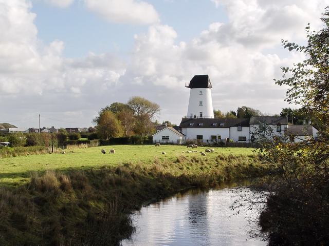 PlatformPlatform, peatland · 1632 yd
 RoadRoad, unclassified togher · 1.2 mi
 IndicatedCastle, motte · 1.3 mi
 Mellisson CastleCastle, tower house · 1.4 mi
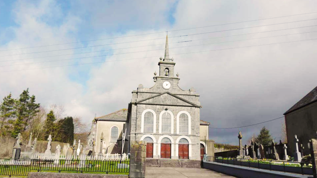 Derryvella Church (in Ruins)Church · 1.5 mi
 Waterloo HillMountain / peak · 2.3 mi
 Derrynaflan TrailHeritage attraction · 2.8 mi
 Bregaun HillMountain / peak · 3.0 mi
 Sweet ChestnutSweet Chestnut · 3.8 mi
 Kilcooly AbbeyHeritage attraction · 4.0 mi
 Rapefield WoodForest · 4.1 mi