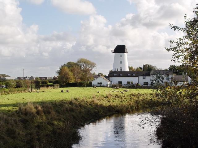
What is recorded here
In Derryvella bog, this possible platform (Wth 0.44m; D 0.04m; L 2.41m) was visible in the centre of the field on its surface. It was composed of a number of brushwood and roundwood elements (diam. 0.01-0.09m; L 0.09-0.5m) that were quite densely packed. The majority of the elements were orientated N-S, while those at the northern end were orientated NW-SE. The structure was moderately preserved but had been machine damaged on its upper side. The underlying peat was composed of moderately humified sphagnum peat with moderate eriophorum inclusions. A single piece of wood was identified as hazel. A single squared oak peg, worked to a wedge point, was located to the NW.
Compiled by: Jean Farrelly, based on the original survey description compiled by Jane Whitaker of Archaeological Development Services Ltd.
Date of upload: 07 November 2012
The monument record does not grant public access. Check the route and ask the landowner before entering private land.
- What survives
- Recorded monument
Places near here
 RoadRoad, unclassified togher · 1073 yd
 Grave YardEcclesiastical enclosure · 1292 yd
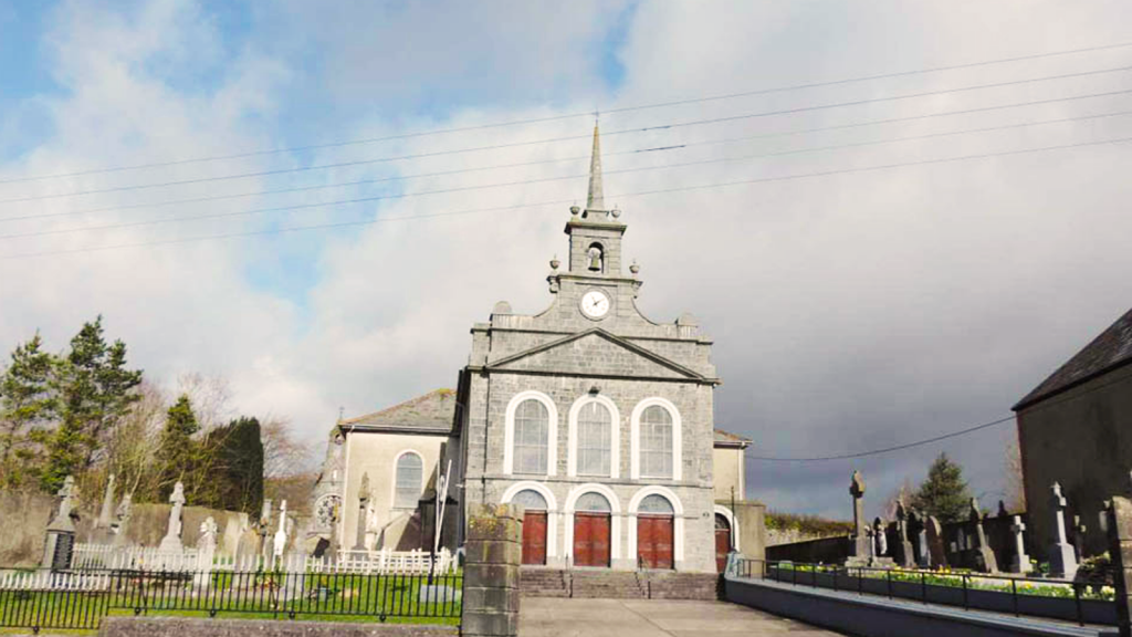 Derryvella Church (in Ruins)Church · 1307 yd
 StructureStructure, peatland · 1.0 mi
 Derrynaflan TrailHeritage attraction · 1.9 mi
 Waterloo HillMountain / peak · 2.0 mi
 IndicatedCastle, motte · 2.2 mi
 Mellisson CastleCastle, tower house · 2.2 mi
 Sweet ChestnutSweet Chestnut · 3.1 mi
 Gobban Saer's GraveArchaeological place · 3.6 mi
 Bregaun HillMountain / peak · 3.9 mi
 Horse and JockeyVisitor information · 4.1 mi
Other information
Photo: Credit not shown in the picture search · Rights wording not checked; contact us if this picture should be removed