
What is recorded here
At the northern end of Derryvella bog, this togher (Wth 1.32-2.5cm, D 0.04-0.12, L 22.4m) was visible running along the field surface at two sightings. It was orientated NW-SE and what remained of the togher was very fragmentary due to exposure to machinery. The original compostion of the togher was difficult to discern due to the damaged it had sustained. At the SE end of the togher there were three poorly preserved brushwood elements (diam. 0.04-0.05m; L 0.11 to 0.57m) visible on the field surface, orientated roughly E-W. The underlying peat was composed of poorly humified sphagnum-rich peat with moderate bog bean and occasional eriophorum inclusions.
Compiled by: Jean Farrelly, based on the original survey description compiled by Jane Whitaker of Archaeological Development Services Ltd.
Date of upload: 06 November 2012
The monument record does not grant public access. Check the route and ask the landowner before entering private land.
- What survives
- Recorded monument
Places near here
 RoadRoad, unclassified togher · 166 yd
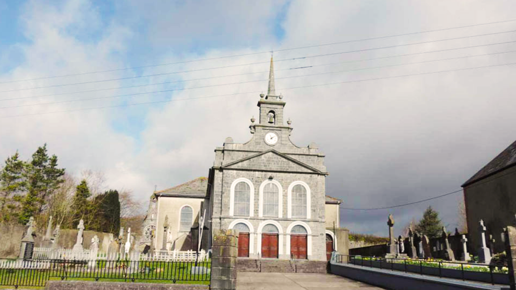 Derryvella Church (in Ruins)Church · 516 yd
 Grave YardEcclesiastical enclosure · 527 yd
 StructureStructure, peatland · 898 yd
 Waterloo HillMountain / peak · 1.4 mi
 Derrynaflan TrailHeritage attraction · 1.7 mi
 Bog Castle (in Ruins)Castle, unclassified · 2.2 mi
 Mellisson CastleCastle, tower house · 2.2 mi
 Sweet ChestnutSweet Chestnut · 3.3 mi
 Gobban Saer's GraveArchaeological place · 3.3 mi
 Slieveardagh Heritage CentreVisitor information · 3.6 mi
 Bregaun HillMountain / peak · 4.0 mi
Other information
Photo: Credit not shown in the picture search · Rights wording not checked; contact us if this picture should be removed