What is recorded here
Situated on a small, flat-topped hillock, in pasture, with good views in all directions. Annotated 'Moat' on the 1837 OS Fair Plan map where it is depicted as a small, circular feature inside an oval-shaped enclosure, which is delineated by a broken line. Depicted on the revised 1913 ed. OS 25-inch map as a small mound standing inside a roughly oval-shaped enclosure(approx. dims. 36m N-S; 32m E-W) to SE of Clonlost House. Holy well (WM020-037----) lies c. 65m to NW. Levelled monument described in 1970 as no surface remains visible. Cropmark of levelled enclosure barely visible today on Digital Globe aerial photograph. May have been the remains of a small burial mound within a circular-shaped enclosure or the remains of a small motte and bailey.
Compiled by: Alison McQueen, Vera Rahilly and Caimin O’Brien
Date of upload: 07 June 2019
A Neolithic passage tomb; its location on a prominent hillock and early map references suggest it was a significant ceremonial or burial site in the prehistoric landscape.
The monument record does not grant public access. Check the route and ask the landowner before entering private land.
- What survives
- Recorded monument
Places near here
 St. Columbkilles WellHoly well · 91 yd
 Church (in Ruins)Chapel · 215 yd
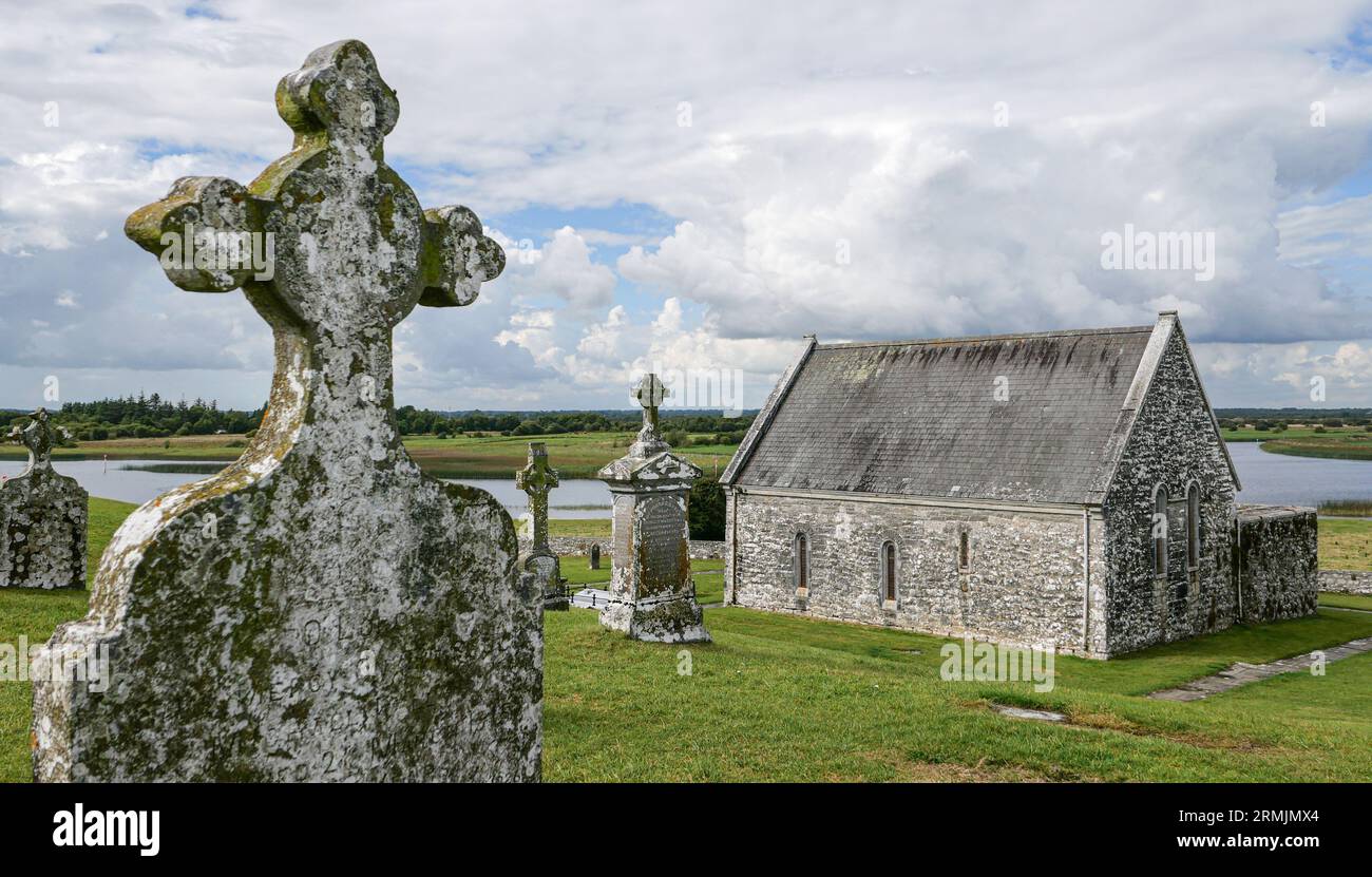 Ecclesiastical enclosure in ClonlostEcclesiastical enclosure · 257 yd
 CastleCastle, ringwork · 826 yd
 Edmondstown Castle (in Ruins)Castle, tower house · 1.0 mi
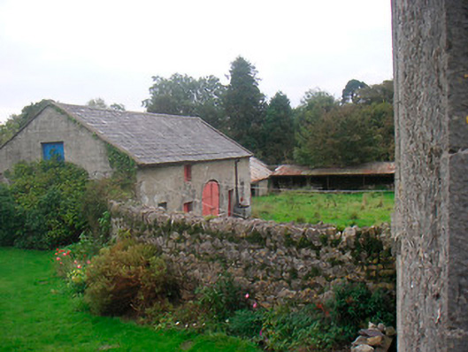 Huntingdon Houseoutbuilding · 1.2 mi
 GinkgoGinkgo · 1.7 mi
 ScregganWood · 6.0 mi
 Kells HillMountain / peak · 10 mi
 Croppies' GraveMemorial · 10 mi
 Partially hachuredFairy fort / earthen ringfort · 843 yd
 Tober LastraghHoly well · 1236 yd