What is recorded here
Fairy fort / ringfort in Clonboy or Ballinacor is a fairy fort or ringfort in Clonboy or Ballinacor, County Westmeath, Ireland. The site sits on a plateau of a steep hill in a woodland plantation, with Clonboy House located 165 metres to the south-south-east. The revised 1913 edition of the Ordnance Survey 25-inch map depicted an oval-shaped earthwork of approximately 25 metres in diameter inside the plantation. A 1978 account described the levelled monument as having no surface remains visible, while a cropmark of a levelled circular-shaped earthwork is visible on a Digital Globe aerial photograph.
Situated on a plateau of a steep hill in a woodland plantation with Clonboy House 165m to SSE. Depicted on the revised 1913 ed. OS 25-inch map as an oval-shaped earthwork (approx. diam. 25m) standing inside a woodland plantation. Levelled monument described in 1978 as no surface remains visible. Cropmark of levelled circular-shaped earthwork is visible today on Digital Globe aerial photograph. Possible ringfort.
Compiled by Alison McQueen, Vera Rahilly and Caimin O’Brien.
Date of upload: 31 July 2019
The monument record does not grant public access. Check the route and ask the landowner before entering private land.
- What survives
- Recorded monument
Places near here
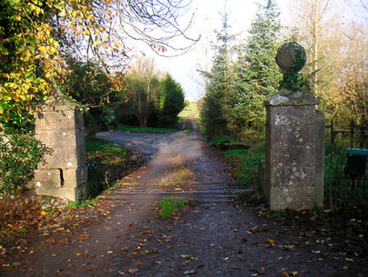 Ballinacor Housedemesne walls/gates/railings · 280 yd
 IndicatedFairy fort / earthen ringfort · 643 yd
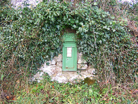 post boxpost box · 1194 yd
 Site of Doon CastleCastle, ringwork · 1254 yd
 EnclosureEnclosure, large enclosure · 1333 yd
 Duneel CastleCastle, tower house · 1.1 mi
 European ashEuropean ash · 1.5 mi
 Hill of UisneachMountain / peak · 2.0 mi
 Sam's ParkForest · 3.1 mi
 KnockastiaMountain / peak · 4.3 mi
 Craft WorkshopHeritage attraction · 5.6 mi
 Guest ServicesVisitor information · 5.7 mi