
What is recorded here
Situated in fairly low-lying, rough pasture with moderate views in all directions. A cist (WM024-045----) lies c. 125m to SE. Monument described in 1971 and 1977 as a large, oval-shaped area enclosed by a well-preserved bank, a short section of an intervening fosse and outer bank. The inner earth and stone bank is high and steep on the exterior but rises only slightly above the interior. A short portion of shallow fosse is visible at S and there is a low outer bank beyond this which cuts across the fosse and into the base of the enclosure bank. It is unclear if this is an original feature. There are vague traces of a possible structure adjoining the exterior of the scarp at SW.
The interior rises gently from the perimeter to the centre and is divided by internal banks. There are rocky outcrops and cultivation ridges in the S and W quadrants. In the E quadrant, inside the bank, is a potential house site, however this is ill-defined and inconclusive. The N quadrant has linear banks running N-S towards the centre. Outline of monument and internal divisions clearly visible on oblique aerial photographs taken 12/09/1966 (CUCAP AOY091/092/099).
See attached plan of enclosure surveyed and drawn by the ASI
Compiled by Alison McQueen, Vera Rahilly and Caimin O’Brien.
Date of upload: 12 August 2019
A local fairy fort (ringfort/rath); wider significance not recorded.
The monument record does not grant public access. Check the route and ask the landowner before entering private land.
- What survives
- Recorded monument
Places near here
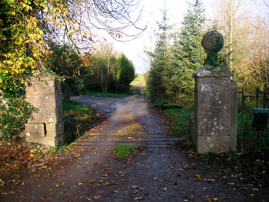 Ballinacor Housedemesne walls/gates/railings · 1448 yd
 Bawn in KillarecastleBawn · 1580 yd
 Church (in Ruins)Church · 1610 yd
 Brides WellHoly well · 1627 yd
 European ashEuropean ash · 1633 yd
 IndicatedFairy fort / earthen ringfort · 1701 yd
 Site of Doon CastleCastle, ringwork · 1.2 mi
 Hill of UisneachMountain / peak · 1.7 mi
 Sam's ParkForest · 2.3 mi
 KnockastiaMountain / peak · 3.7 mi
 Craft WorkshopHeritage attraction · 6.3 mi
 Guest ServicesVisitor information · 6.3 mi
Other information
Photo: Credit not shown in the picture search · Rights wording not checked; contact us if this picture should be removed