What is recorded here
The fairy fort or earthen ringfort in Clonaspoe, Clonkelly is in County Tipperary, Ireland. It occupies high ground with clear views in every direction. A circular area roughly 32 metres north-south and 35 metres east-west sits inside an earthen bank and outer ditch. The interior is now thick with bushes and conifer trees, blocking direct measurement.
On top of high ground with good views in all directions. Overgrown circular area (approx. int. diam. 32m N-S; 35m E-W) enclosed by an earthen bank and outer fosse (top Wth 2m; base Wth 2m; ext. D 0.5m), interior is covered in bushes and conifer trees making it impossible to examine or measure. It was planted as a grove of trees and used as a landscape feature for the nearby Grene Park House in the 19th century. In the Civil Survey (1654-6) this townland was called Lisnamoe (Simington 1934, vol. 2, 92) possily after this ringfort. The outer enclosing feature of the ringfort is intersected by a townland boundary at E running in a NW-SE direction.
Compiled by: Jean Farrelly
Date of upload: 26 August 2011
The monument record does not grant public access. Check the route and ask the landowner before entering private land.
- What survives
- Recorded monument
Places near here
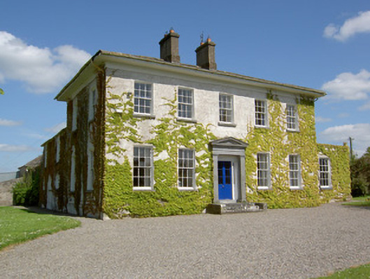 Drummona Houserectory/glebe/vicarage/curate's house · 214 yd
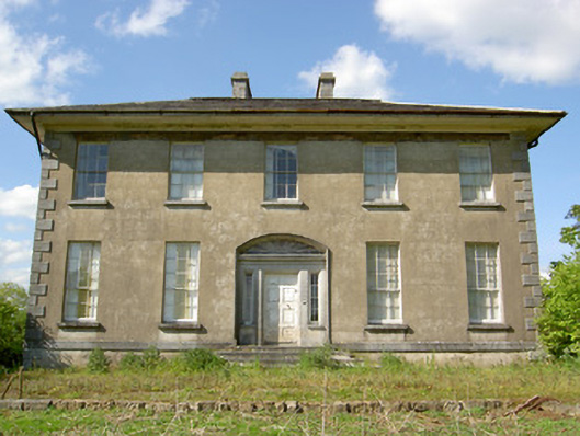 Grene Parkcountry house · 234 yd
 Wych ElmWych Elm · 573 yd
 Woodcock GroveWood · 1209 yd
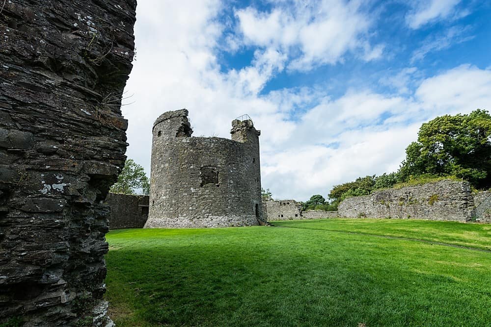 Site of CastleCastle, unclassified · 1675 yd
 IndicatedEnclosure · 1723 yd
 Parknamoe FortFairy fort / earthen ringfort · 1.1 mi
 Ballagh CastleCastle · 1.6 mi
 Clonoulty HillMountain / peak · 3.8 mi
 Hore AbbeyHeritage attraction · 5.5 mi
 Rock of CashelHeritage attraction · 5.7 mi
 The Rock Of CashelVisitor information · 5.7 mi