What is recorded here
Earthwork in Cloghleigh (Aglishcloghane parish) is an earthwork in Cloghleigh (Aglishcloghane parish), County Tipperary, Ireland. The 2012 inventory recorded a natural elongated hillock measuring 42 metres east to west and 33 metres north to south and rising 1 to 2 metres, defined by a scarp and with a surface sloping sharply west. The 1840 Ordnance Survey six-inch map depicted an oval platform bounded by a townland boundary at east and a field boundary running from south through west to north. The inventory said the field boundary had been destroyed and might survive as the western basal scarp.
Situated on a natural hillock in undulating countryside. A natural elongated rise of ground (dims. 42m E-W; 33m N-S; H 1-2m) defined by a scarp. The surface of the earthwork follows the natural contours of the hill sloping sharply from E to W. On the 1840 ed. OS 6-inch map the earthwork is depicted as a oval-shaped platfrom type earthwork defined by a townland boundary at E and a field boundary from S through W to N. The latter field boundary is now destroyed and may be represented by the remains of the scarp enclosing the base of the hillock to the W.
The above description is derived from 'The Archaeological Inventory of County Tipperary. Vol. 1 - North Tipperary' compiled by Jean Farrelly and Caimin O'Brien (Dublin: Stationery Office, 2002). In certain instances the entries have been revised and updated in the light of recent research.
Date of upload/revision: 09 January 2012
This remains an important historical record, but the official description says the monument is no longer visible or has been destroyed. The monument record does not grant public access. Check the route and ask the landowner before entering private land.
- What survives
- No visible remains or recorded as destroyed
Places near here
 Ballylina Lodgehouse · 545 yd
 AltarEcclesiastical enclosure · 798 yd
 Simons Well (Disused)Holy well · 966 yd
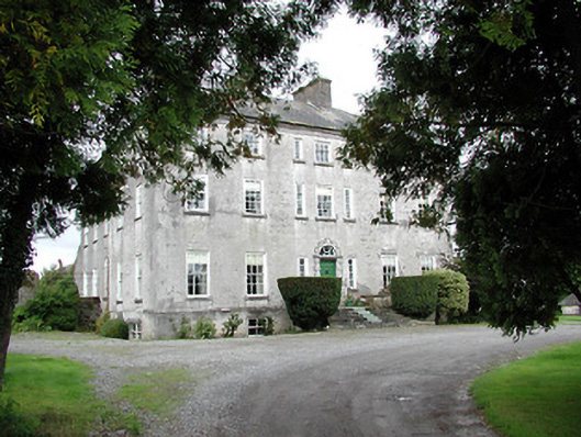 Lisbryan Housecountry house · 1308 yd
 South ParkCastle, unclassified · 1.1 mi
 Ballyhaugh Castle (in ruins)Castle, tower house · 1.9 mi
 Borris WoodWood · 3.6 mi
 Lumcloon WoodWood · 4.4 mi
 Slevoir BayBay · 5.8 mi
 MacDonagh HouseMemorial · 6.1 mi
 Thomas MacDonagh Heritage CentreMuseum · 6.1 mi
 James Devaney MemorialMemorial · 9.8 mi