
What is recorded here
The partial remains of the earth and stone bank of an enclosure (approx. dims. 100m N-S; 90m E-W) surviving from W through N to E where it acts as a field boundary enclosing the base of a natural hillock. The enclosure was depicted on the 1843 ed. OS 6-inch map. On top of the hillock are the remains of a circular grove of hawthorn bushes with a bullaun stone (TN007-034003) protruding from the surface of the hill. There are a lot of other stones protruding from the surface inside the circular grove of trees which is indicative of a children's burial ground (TN007-034002). According to Cooke (1852-3, 54) a lot of human bones were found within this destroyed enclosure and there was a practice of interring unbaptised children here. He also describes finding a small bronze pin with a pendent ornament in the shape of a crescent or new moon.
The above description is derived from 'The Archaeological Inventory of County Tipperary. Vol. 1 - North Tipperary' compiled by Jean Farrelly and Caimin O'Brien (Dublin: Stationery Office, 2002). In certain instances the entries have been revised and updated in the light of recent research.
Date of upload/revision: 22 September 2008
The monument record does not grant public access. Check the route and ask the landowner before entering private land.
- What survives
- Recorded monument
Places near here
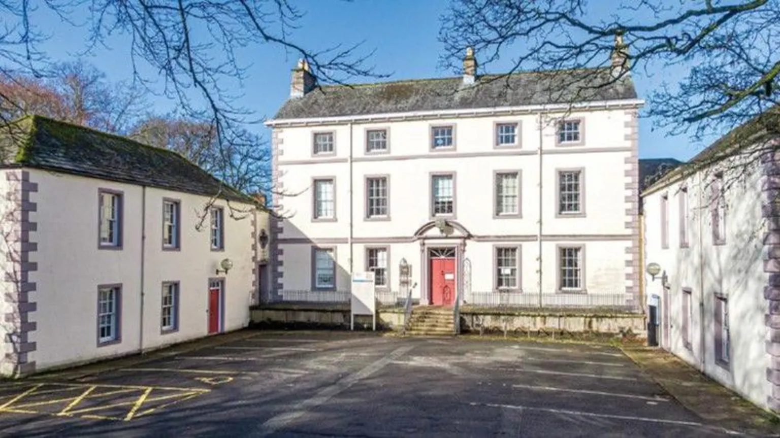 Simons Well (Disused)Holy well · 189 yd
 Enclosure in Feigh East,lisheen (aglishcloghane Par.)Enclosure · 1128 yd
 Ballylina Lodgehouse · 1229 yd
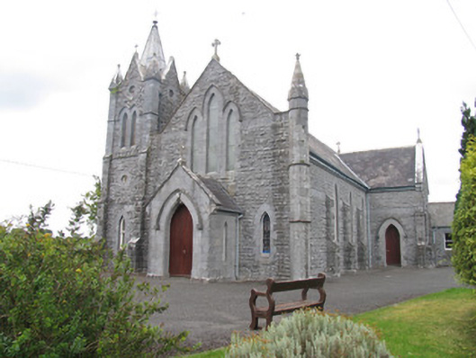 Catholic Church of Saint Michael the Archangelchurch/chapel · 1338 yd
 Ballyhaugh Castle (in ruins)Castle, tower house · 1.5 mi
 South ParkCastle, unclassified · 1.6 mi
 Borris WoodWood · 3.3 mi
 Lumcloon WoodWood · 4.4 mi
 Slevoir BayBay · 5.3 mi
 MacDonagh HouseMemorial · 6.4 mi
 Thomas MacDonagh Heritage CentreMuseum · 6.4 mi
 Rabbit IslandsIslet · 9.8 mi
Other information
Photo: Credit not shown in the picture search · Rights wording not checked; contact us if this picture should be removed