What is recorded here
Cliff-edge fort in Deerpark (barrymore By.) stands on a steep cliff above the Bride river valley, using the rock face as one wall and a low earthen bank as the other. That much is clear. Whether people lived there, watched the valley, or simply stacked stone before leaving is no longer certain. The cliff did the heavy work, and human hands did little more than mark the edge.
In pasture, on edge of steep cliff dropping down to valley of Bride river to S. D-shaped area (32m N-S; 37m E-W) enclosed by earthen scarp (H 2m) W->E with very shallow external fosse; cliff face defines S side. Interior level and overgrown.
The above description is derived from the published 'Archaeological Inventory of County Cork. Volume 2: East and South Cork' (Dublin: Stationery Office, 1994). In certain instances the entries have been revised and updated in the light of recent research.
Date of upload/revision: 14 January 2009
The monument record does not grant public access. Check the route and ask the landowner before entering private land.
- What survives
- Recorded monument
Places near here
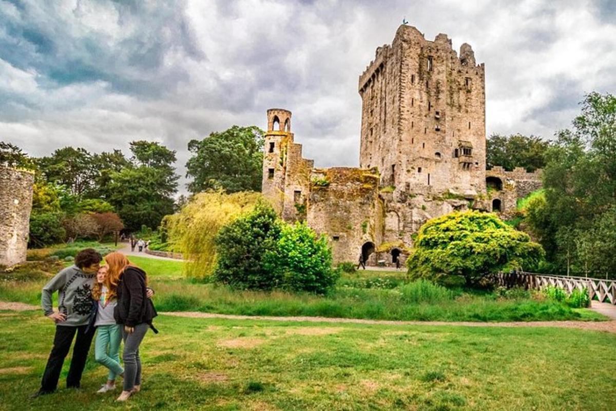 Killawillin Church (Site of)Church · 396 yd
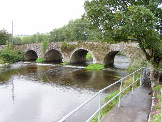 Bride Bridgebridge · 480 yd
 Fulacht fia in Deerpark (barrymore By.)Fulacht fia · 522 yd
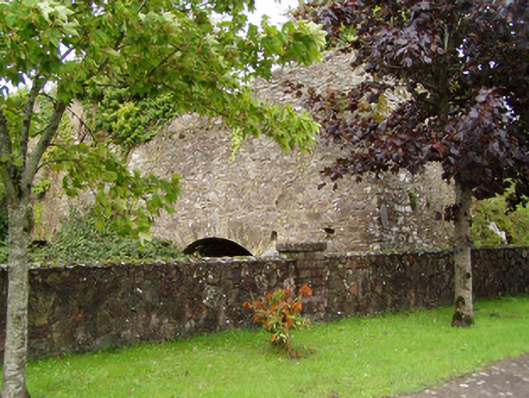 kilnkiln · 626 yd
 Barrymore Castle or Castle LyonsHouse, fortified house · 1386 yd
 Tower (in Ruins)Bawn · 1.5 mi
 Rathcormac massacremassacre · 2.2 mi
 Strawhall WoodForest · 3.5 mi
 Ballybrack WoodForest · 3.7 mi
 Devonshire's HillMountain / peak · 4.1 mi
 Kent BridgeMemorial · 4.8 mi
 Graveyard in FermoyGraveyard · 4.8 mi