What is recorded here
Cleenrah holds a massive earthen ring, thirty-two metres across, where a thick stone bank and deep outer ditch still mark the boundary of an old life. The entrance faced east, inviting sunrise into the centre before the rest of the valley woke. It is easy to imagine people moving through that opening, carrying food, tools or children, while the slope and pasture watched them pass. The fort does not need fairy tales to feel alive because its size and shape preserve the discipline of human labour.
On an E-facing slope in pasture. A raised circular area (diam c. 32m) enclosed by a substantial bank of earth and stone (Wth 9-10m; H 1.4-1.7m), with a wide, deep, external fosse (Wth 9.8m; D 0.7-1.7m) from S-W-N. A report in 1976 (SMR file) recorded that the original entrance was at E.
Compiled by: Patrick F. O'Donovan
Date of upload: 26 August 2011
The monument record does not grant public access. Check the route and ask the landowner before entering private land.
- What survives
- Recorded monument
Places near here
 Dermot & Grania's BedArchaeological place · 347 yd
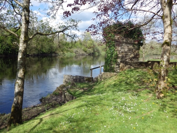 Enclosure in CleenrahEnclosure · 380 yd
 bridgebridge · 735 yd
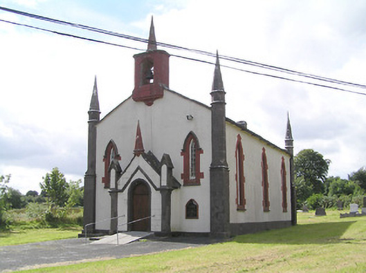 Saint Thomas's Church (Columbkille)church/chapel · 1105 yd
 Arnaghan SouthMountain / peak · 1.4 mi
 Mulrick WoodlandForest · 1.6 mi
 Arnaghan NorthMountain / peak · 1.9 mi
 White IslandIslet · 2.2 mi
 CastleBawn · 2.2 mi
 Cloone Ho.Castle, unclassified · 2.4 mi
 Scrabby IslandIslet · 2.7 mi
 Ballinamuck Bog LoopWalking route · 3.0 mi